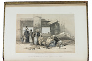

Travelogue of Arabia by a distinguished Lebanese Arab-American writer, with 32 plates
RIHANI, Ameen.
Around the coasts of Arabia.
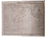
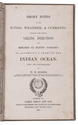
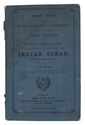
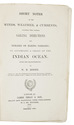
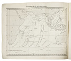
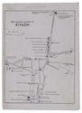
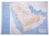
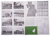
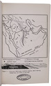
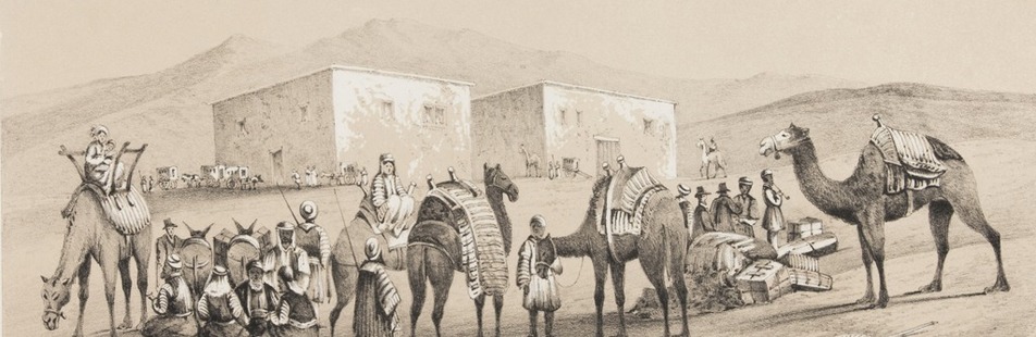
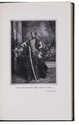
London, Constable & Co., 1930. 8vo. With a pictorial map as frontispiece, 31 photographic half-tone plates and a full-page map on an integral leaf. Original publishers black cloth, with title in gold on spine. X, [2], 364 pp. Full description
€ 1,500
London, Constable & Co., 1930. 8vo. With a pictorial map as frontispiece, 31 photographic half-tone plates and a full-page map on an integral leaf. Original publishers black cloth, with title in gold on spine. X, [2], 364 pp. Full description