NAVAL INTELLIGENCE DIVISION.
Palestine and Transjordan. Geographical handbook series.
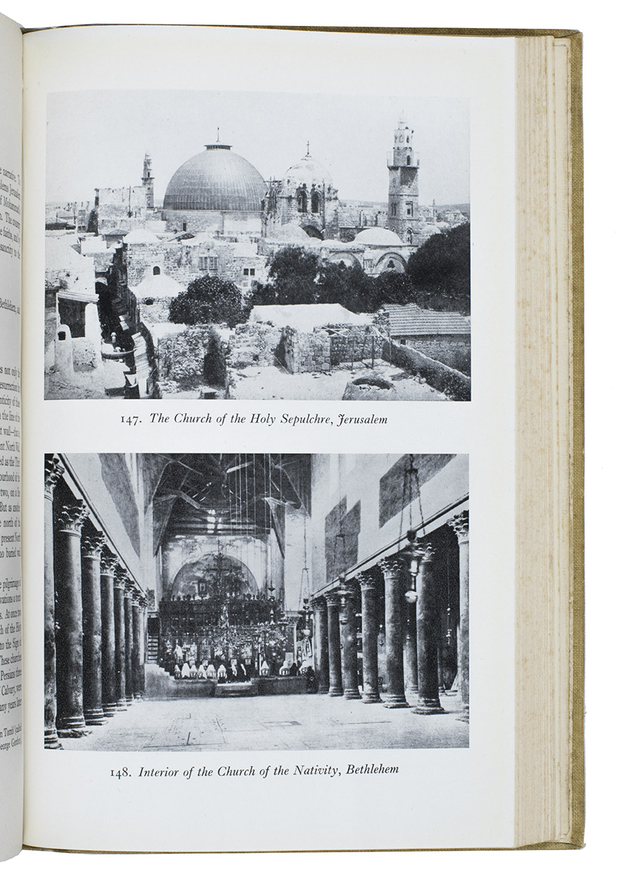
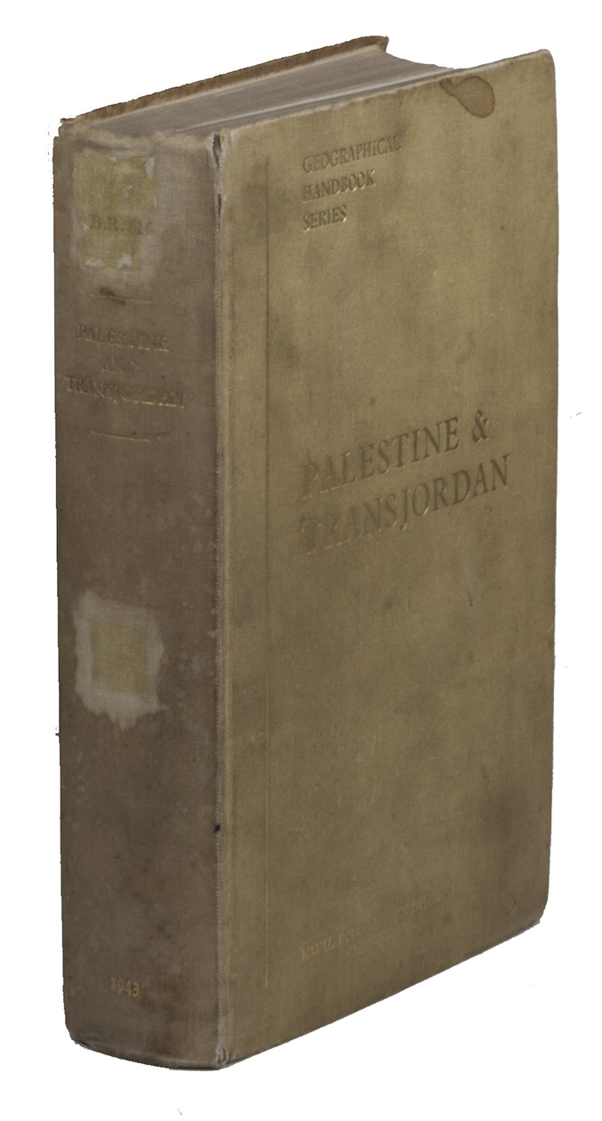
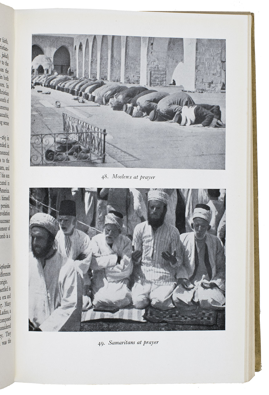
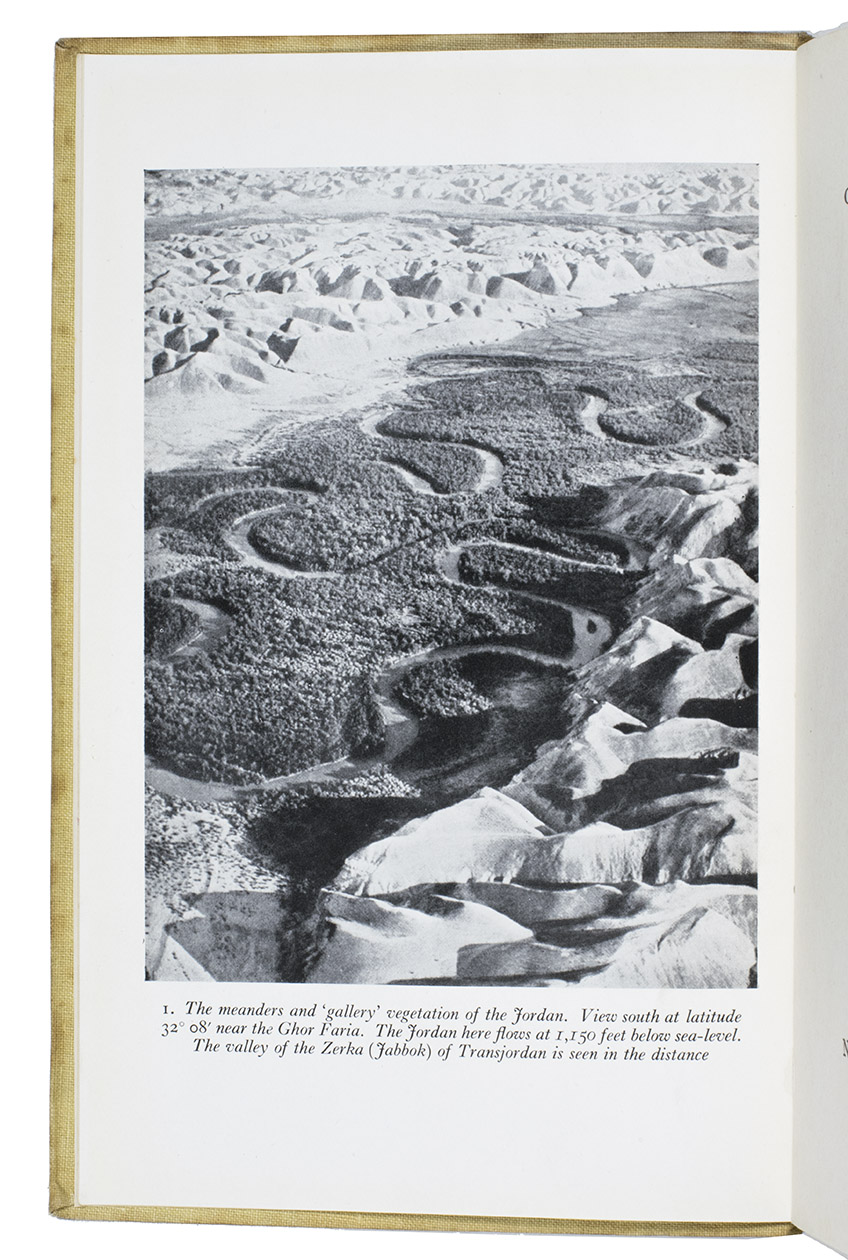
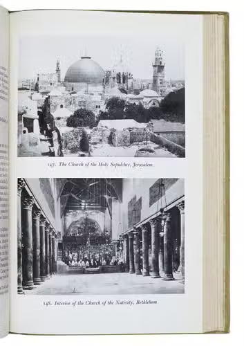
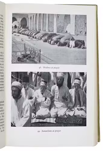
(colophon:) Oxford, University Press, December 1943. 2 parts in 1 volume. Large 8vo. With 1 large folding map stored in a pocket on the back board of the communications of Palestine (air fields and landing grounds, railways, roads and sea plane moorings), 2 other folding maps (geological map of Palestine; map of Haifa Harbour), 1 double-page plan of the church of Holy Sepulchre and 58 other figures in the text. Also with 154 half-tone photographs, inserted on separate leaves and all numbered and captioned. Original publisher's green cloth, gilt-lettering on front board and spine. XV, 621, [1 blank] pp.
€ 1,000
One of the limited official copies of the first published edition of a geographical handbook on Palestine and Transjordan (now Jordan). It was published as part of the British Naval Intelligence Division Geographical Handbook series (also known as the "Admiralty Handbooks"), the largest single body of geographical writing every published. It encompasses 31 titles over 58 volumes. They were written by academics in teams based in Oxford and Cambridge to provide information to the Allied War Effort during World War II, offering a systematic outlined geographical description of political areas (whether a nation-state or colonial territory, with exception of some islands). The series, and so is the present geographical description of Palestine and the Transjordan, seems to be driven by a fundamental desire for completeness, shows by the systematic and extended outline on the topics of each volume of the series and by the abundant illustrations and photographs.
The present copy, however, is one of the limited official copies printed for the British Armed Forces, as the printed label on the back of the title ("This volume was produced and printed for official purposes during the war 1939/1945") mounted over another text suggests ("This book is for the use of persons in H.M. Service only and must not be shown or made available to the Press or to any member of the public").
With the bookplate of Pembroke college (Cambridge University), their library stamp on the large folding map in the pocket on the back board and some library withdrawal stamps on the first free endpaper. Binding a little worn and stained, some minor foxing, otherwise in good condition. Cf. Cyril Gosme, 'The Naval Intelligence Geographical Handbook Series (Great-Britain, 1941-1946): a description and a call for comments', in: Cybergeo: European journal of geography (2000).
Related Subjects: