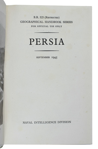
NAVAL INTELLIGENCE DIVISION.
Persia. Geographical handbook series for official use only.
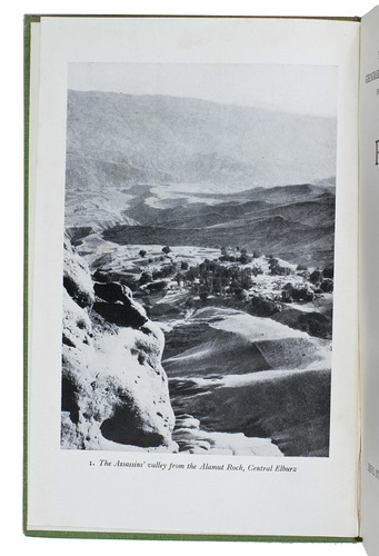
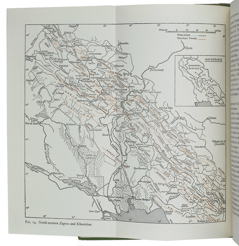
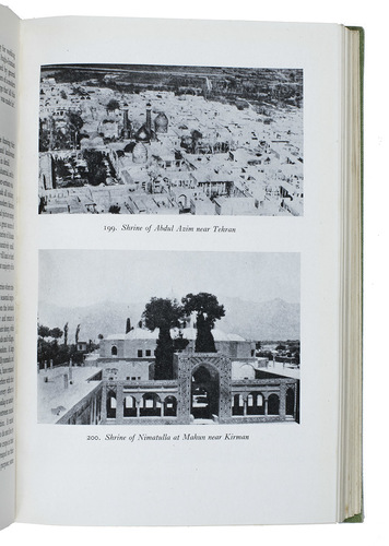
(colophon:) Oxford, University Press, September 1945. Large 8vo. With 1 large folding map of Iraq, Arabia and Persia bound at the end of the book, 11 smaller folding maps and 50 illustration figures in the text (smaller maps, current and wind charts, sections, diagrams on the rainfall, etc.). Also with 337 half-tone photographs, inserted on separate leaves and all numbered and captioned. Original publisher's green cloth, gilt-lettering on front board and spine. XIX, [1 blank], 638 pp.
€ 1,250
One of the limited official copies of the first published edition of a geographical handbook on Persia, Arabia and Iraq. It was published as part of the British Naval Intelligence Division Geographical Handbook series (also known as the "Admiralty Handbooks"), the largest single body of geographical writing every published. It encompasses 31 titles over 58 volumes. They were written by academics in teams based in Oxford and Cambridge to provide information to the Allied War Effort during World War II, offering a systematic outlined geographical description of political areas (whether a nation-state or colonial territory, with exception of some islands). The series, and so is the present geographical description of Persia, seems to be driven by a fundamental desire for completeness, shows by the systematic and extended outline on the topics of each volume of the series and by the abundant illustrations and photographs.
The present copy is one of the limited official copies printed for the British Armed Forces, which is not only shown by the title ("for official use only"), but also by the printed label on the back of the title ("This volume was produced and printed for official purposes during the war 1939/1945") mounted over another text suggesting this too ("This book is for the use of persons in H.M. Service only and must not be shown or made available to the Press or to any member of the public").
With the bookplate of Pembroke college (Cambridge University), their library stamp on the large folding map bound at the end of the book and some library withdrawal stamps on the first free endpaper. Binding a little discoloured around the spine and very slightly stained, otherwise in very good condition. Cf. Cyril Gosme, 'The Naval Intelligence Geographical Handbook Series (Great-Britain, 1941-1946): a description and a call for comments', in: Cybergeo: European journal of geography (2000).
Related Subjects: