Home
Shopping cart (0 items € 0)
Advanced search

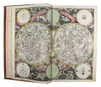
Rare study describing a 622 AH (1225/26 CE) celestial globe with Cufic lettering, with 3 folding plates
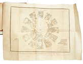
ASSEMANI, Simone. Globus caelestis Cufico-Arabicus Veliterni Musei Borgiani ... illustratus. Praemissa ejusdem De Arabum astronomia dissertatione et adjectis duabus epistolis Cl. Josephi Toaldi.
Padua, Seminary printing office, 1790. Small folio (21.5 x 29.5 cm). With 3 large folding engraved plates. Contemporary green half calf, gold-tooled spine, marbled sides. [16], CCXIX, [9] pp. Full description
€ 28,000
Order Inquire Terms of sale

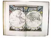
"The greatest and finest atlas ever published", with 610 maps, plans and views,
coloured by a contemporary hand

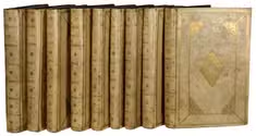
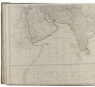
BLAEU, Joan. Grooten atlas, oft werelt-beschryving, in welcke t aerdryck, de zee, en hemel, wort vertoont en beschreven.
Amsterdam, Joan Blaeu, 1664-1665. 9 volumes. Imperial folio (55.5 × 36.5 cm). With 9 engraved title-pages, an engraved frontispiece and 610 engraved maps, views, plans, etc., mostly double-page (53.5 × 64 cm, plate size ca. 42 × 53 cm), 7 larger folding, a few single-page and a few smaller, many including additional inset maps, plans and views, and decorated with coats of arms, human & mythological figures, animals, produce, etc. With the engraved title-pages, frontispiece, other engravings (except for the compass rose and 2 inscriptions), woodcut devices on 4 title-pages and 1 woodcut initial coloured by a contemporary hand (the maps mostly in outline but with their decorations fully coloured) and some (mostly the engraved title-pages) with extensive use of gold. Contemporary gold-tooled vellum. Full description
€ 675,000
Order Inquire Terms of sale

Cross-cultural navigation: Turkish-inscribed maritime pilot

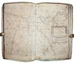
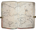
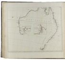
COLOM, Jacob Aertsz. [Description de la mer méditerranée].
[Amsterdam, ca. 1670]. Folio (29 x 45 cm). With 9 double-page engraved charts only, each sheet ca. 44 × 55 cm, each mounted on stiff paper with maps back-to-back, with thick red and black ink borderlines. 8 of 9 maps are by Colom, numbered 2-9 in the plates from; plate 1 has been replaced with Johannes de Rams map of the Mediterranean: "Paskaart vande Middelandsche Zee In twee deelen vertoont". Contemporary stiff paper wrappers, with a manuscript label pasted upside down on the back wrapper, reading: "Carta Marinaresca del Mar Mediterraneo". Full description
€ 25,000
Order Inquire Terms of sale

A magnificent copy of a classic world atlas, hand-coloured and sumptuously bound

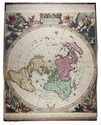
HOMANN, Johann Baptist. Grosser Atlas über die gantze Welt.
Nuremberg, Homann heirs (printed by Johann Heinrich Gottfried Bieling), 1737[-1762]. Folio (34 x 53.5 cm). Letterpress title-page printed in red and black with an engraved map of the northern hemisphere in a polar projection, engraved frontispiece with a globe and a dozen allegorical figures (with a decorated cartouche at the foot giving the title in Latin), engraved portrait of Homann by Johann Wilhelm Winter after Johannes Kenckel, and 98 engraved maps (93 double-page, 1 larger folding in 2 sheets and 4 half-page together on a double-page plate) many with further inset maps and/or views, all with decorated cartouches, often with pictorial decoration or coats of arms; and 3 double-page engraved tables of topographic data. With the engraved title-page and all maps and tables (except for the small north polar projection on the letterpress title-page) coloured by an 18th-century hand, the maps in part or in outline. Gold-tooled red morocco (ca. 1800?) in a neo-classical style, from the workshop of or in the style of Georg Friedrich Krauss (Vienna). [3], [1 blank], 40 pp. plus frontispiece, portrait and 99 double-page plates. Full description
€ 85,000
Order Inquire Terms of sale

World atlas including one 6-sheet and eleven 4-sheet wall maps

KITCHIN, Thomas and others. Kitchin's general atlas, describing the whole universe.
London, Robert Laurie, James Whittle, 1808. Imperial folio (53 x 39.5 cm). With 28 engraved maps (numbered in 41 parts) assembled from 67 sheets. Most include elaborate cartouches with pictorial decoration. With the maps coloured in outline. Contemporary half calf. 1 leaf plus maps. Full description
€ 18,000
Order Inquire Terms of sale

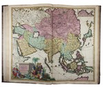
Beautifully coloured composite atlas

[DANCKERTS, ALLARD, VISSCHER, DE WIT, MORTIER and others]. Atlas.
[Amsterdam, Theodorus and Cornelis III Danckerts?, ca. 1706 (dated maps 1694-1706)]. Imperial folio (53.5 x 33.5 cm). Composite atlas, with an engraved title-page, 43 double-page engraved maps and 4 double-page engraved tables, all beautifully coloured in a consistent and balanced manner by a contemporary hand, probably in the workshop of the publisher. With maps by Johannes, Justus, Theodorus and Cornelis III Danckerts, Carel and Abraham Allard, Nicolaas Visscher I & II, Frederik de Wit, Pieter Mortier, Caspar Specht and even Alexis-Hubert Jaillot in Paris. Modern maroon sheepskin. Full description
€ 48,500
Order Inquire Terms of sale

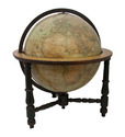
Extremely rare example of the largest globe engraved by Malby (45.5 cm diameter), with lines of magnetic variation, London 1848, showing “Debai” (Dubai)

[GLOBE - TERRESTRIAL]. MALBY & CO. Malby's terrestrial globe.
[London], Malby & Co. (engraved by Chas. Malby), 1 January 1848. Diameter: 45.5 cm (18 inch), height in stand: 64.5 cm. An engraved terrestrial globe with 12 gores and 2 polar caps over a plaster-covered core, and the engraved horizon ring on the wooden stand, all coloured by a contemporary hand. In a contemporary wooden stand with 3 turned legs supporting the horizon ring, and 3 turned stretchers with a cylindrical centrepiece with a knob on the underside. Further with a contemporary brass hour circle and a slightly later iron meridian ring (and probably the axis pivots). Full description
€ 35,000
Order Inquire Terms of sale
7 books found