Home
Shopping cart (0 items € 0)
Advanced search

8 large illustrated volumes of the most important voyages from the 15th to the end of the 17th century

AA, Pieter van der (editor) and Johann Ludwig GOTTFRIED. De aanmerkenswaardigste en alomberoemde zee- en landreizen der Portugeezen, Spanjaarden, Engelsen en allerhande natiën: zoo van Fransen, Italiaanen, Deenen, Hoogh- en Nederduitsen als van veele andere volkeren. Voornaamenlyk ondernomen tot ontdekking van de Oost- en Westindiën, midsgaders andere verafgelegene gewesten des aardryks.
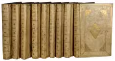
The Hague, widow of Engelbrecht Boucquet and sons; Leiden, Jan van der Deyster, and Boudewijn and Pieter van der Aa, 1727. 8 volumes. 1mo and folio. With 7 (of 8) engraved frontispieces (lacking that of volume 4), 4 engraved dedications, 117 engraved maps on 61 leaves, 7 engraved plates and 502 engravings in text. Further with 127 (of 128) title-pages (including a general title-page, a title-page to 7 (of 8) volumes, lacking that of volume 4, and 118 for the separate works). Volume 1-3 & 5-8: contemporary mottled calf, gold-tooled spine and board edges; volume 4: modern calf. Full description
€ 65,000
Order Inquire Terms of sale

With attractive maps of the Holy Land

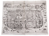
ADRICHEM, Christiaan van. Theatrum Terrae Sanctae et biblicarum historiarum cum tabulis geographicis aere expressis.
[Cologne, Officina Birckmannica, for Hermann Mylius, 1628]. Folio. With engraved allegorical title-page, numerous decorated woodcut initial letters and tailpieces, 11 maps of Israel and 1 map of Jerusalem (8 folding and 4 double-page). Contemporary calf, gold-tooled spine with red morocco title-label, blind-tooled sides, gilt binding edges. [12], 286, [30] pp. Full description
€ 10,000
Order Inquire Terms of sale

A large two-sheet map of the Middle East

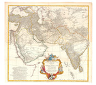
ANVILLE, Jean Baptiste Bourguignon d'. Premier Partie de la Carte d' Asie, contenant La Turquie, L'Arabie, La Perse, L'Inde en deça du Gange et de la Tartarie ce qui est limitrophe de la Pers et du Gange.
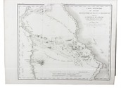
Paris, 1751 Engraved map on two sheets (75 x 79 cm), with hand-coloured cartouche and coloured in outline. Full description
€ 950
Order Inquire Terms of sale

Surviving traffic in Saudi Arabia, a large folding map

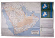
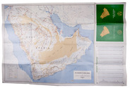
ARAMCO. Saudi Arabian road map.
Dammam, printed by the Al-Mutawa Press for the Arabian American Oil Company, 1973. Large folding map (60 x 90.5 cm), printed in colour, depicting the Kingdom of Saudi Arabia and its main roads. With on the right the title in both Arabic and English and a table with the distances from one city to another. Printed on two sides, one side with the map in English and the other in Arabic. Full description
€ 1,800
Order Inquire Terms of sale

Surviving traffic in Saudi Arabia, a large folding map

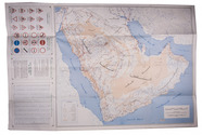
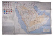
ARAMCO. Saudi Arabian road map.
Dammam, printed by the Al-Mutawa Press for the Arabian American Oil Company, 1975. Large folding map (60 x 90.5 cm), printed in colour, depicting the Kingdom of Saudi Arabia and its main roads. With on the right the title in both Arabic and English and a table with the distances from one city to another. Printed on two sides, one side with the map in English and the other in Arabic. Full description
€ 1,500
Order Inquire Terms of sale

Large coloured map of the Middle East, including roads and oil pipe lines

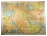
BARTHOLOMEW, John. Middle East with boundaries, roads and railways.
Edinburgh, John Bartholomew & Son, 1962. 8vo. Large folding map (77 x 101 cm) on a scale of 1:4,000,000, linen backed. With relief shown by contours, hachures and gradient tints and depths shown by soundings. Folded, with title-wrapper. Full description
€ 850
Order Inquire Terms of sale

"The greatest and finest atlas ever published", with 610 maps, plans and views,
coloured by a contemporary hand

BLAEU, Joan. Grooten atlas, oft werelt-beschryving, in welcke t aerdryck, de zee, en hemel, wort vertoont en beschreven.
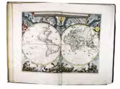
Amsterdam, Joan Blaeu, 1664-1665. 9 volumes. Imperial folio (55.5 × 36.5 cm). With 9 engraved title-pages, an engraved frontispiece and 610 engraved maps, views, plans, etc., mostly double-page (53.5 × 64 cm, plate size ca. 42 × 53 cm), 7 larger folding, a few single-page and a few smaller, many including additional inset maps, plans and views, and decorated with coats of arms, human & mythological figures, animals, produce, etc. With the engraved title-pages, frontispiece, other engravings (except for the compass rose and 2 inscriptions), woodcut devices on 4 title-pages and 1 woodcut initial coloured by a contemporary hand (the maps mostly in outline but with their decorations fully coloured) and some (mostly the engraved title-pages) with extensive use of gold. Contemporary gold-tooled vellum. Full description
€ 675,000
Order Inquire Terms of sale

Beautifully illustrated expeditions searching for ancient Egyptian antiquities

CAILLIAUD, Frédéric and Bernardino DROVETTI. Voyage a l'Oasis de Thèbes et dans les déserts situés a l'orient et a l'occident de la Thébaïde, fait pendant les années 1815, 1816, 1817 et 1818.
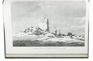
Paris, Royal press, 1821. With 24 numbered engraved plates, including 2 engraved maps (1 folding), 1 plate coloured by hand and 1 double-page.
With: (2) CAILLIAUD, Frédéric and Bernardino DROVETTI. Voyage a l'Oasis de Syouah ... pendant leurs voyages dans cette oasis, en 1819 et en 1820.
Paris, Rignoux, 1823. With 20 numbered plates (1 engraved map and 19 lithographed plates). 2 works in 1 volume. Folio. Contemporary green goatskin morocco, richly gold-tooled spine. [2 blank], XVII, [1], 120; [12], 28 pp. Full description
€ 19,500
Order Inquire Terms of sale

Geographical description/atlas of the old world, including the Middle East.
With 33 maps and bound in well-preserved, gold-tooled contemporary calf

CELLARIUS, Christoph. Notitia orbis antiqui, sive geographia plenior, ab ortu rerumpublicarum ad constantinorum tempora orbis terrarium faciem declarans. ... et novis tabulis geographicis ... illustravit.
(Volume 1:) Cambridge, John Owen, 1703; (volume 2:) Amsterdam, Caspar Fritsch, 1706. 2 volumes. 4to. With engraved author's portrait, 33 engraved double-page maps and 1 engraved double-page plate. Contemporary calf, richly gold tooled spines and binding edges, double gilt fillets on sides. [16], 862, [38]; [12], 544; 166, [38] pp. Full description
€ 5,000
Order Inquire Terms of sale

Unique hand-coloured copy of Dapper's famous description of Africa

DAPPER, Olfert. Naukeurige beschrijvinge der Afrikaensche gewesten van Egypten, Barbaryen, Lybien, Biledulgerid, Negroslant, Guinea, Ethiopiën, Abyssinie: vertoont in de benamingen, grenspalen, revieren, steden, gewassen, dieren, zeeden, drachten, talen, rijkdommen, godsdiensten en heerschappyen. ...
Including: Naukeurige beschrijvinge der Afrikaensche eylanden ...
Amsterdam, Jacob van Meurs, 1676. 3 works in 1 volume. Folio (33 x 22 cm). With a richly engraved allegorical frontispiece, a large folding engraved map of Africa (44.5 x 56 cm), 14 double-page engraved maps of parts of Africa and the adjacent islands, 27 double-page and 1 larger folding engraved plates and views, and 55 half-page engraved views, plans, illustrations of costumes, animals, plants, etc. in the text. All illustrations coloured by a contemporary hand. Contemporary vellum at a later date with elaborate blind-tooled decorations, including oriental portraits. With 2 decorated brass clasps, signed B-I. [6], 428, 349, [16]; [1], 121, [4] pp. Full description
€ 85,000
Order Inquire Terms of sale
49 books found / Show all