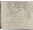
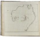
World atlas including one 6-sheet and eleven 4-sheet wall maps


KITCHIN, Thomas and others.
Kitchin's general atlas, describing the whole universe.
London, Robert Laurie, James Whittle, 1808. Imperial folio (53 x 39.5 cm). With 28 engraved maps (numbered in 41 parts) assembled from 67 sheets. Most include elaborate cartouches with pictorial decoration. With the maps coloured in outline. Contemporary half calf. 1 leaf plus maps. Full description
€ 18,000
London, Robert Laurie, James Whittle, 1808. Imperial folio (53 x 39.5 cm). With 28 engraved maps (numbered in 41 parts) assembled from 67 sheets. Most include elaborate cartouches with pictorial decoration. With the maps coloured in outline. Contemporary half calf. 1 leaf plus maps. Full description

