COLOM, Jacob Aertsz.
[Description de la mer méditerranée].
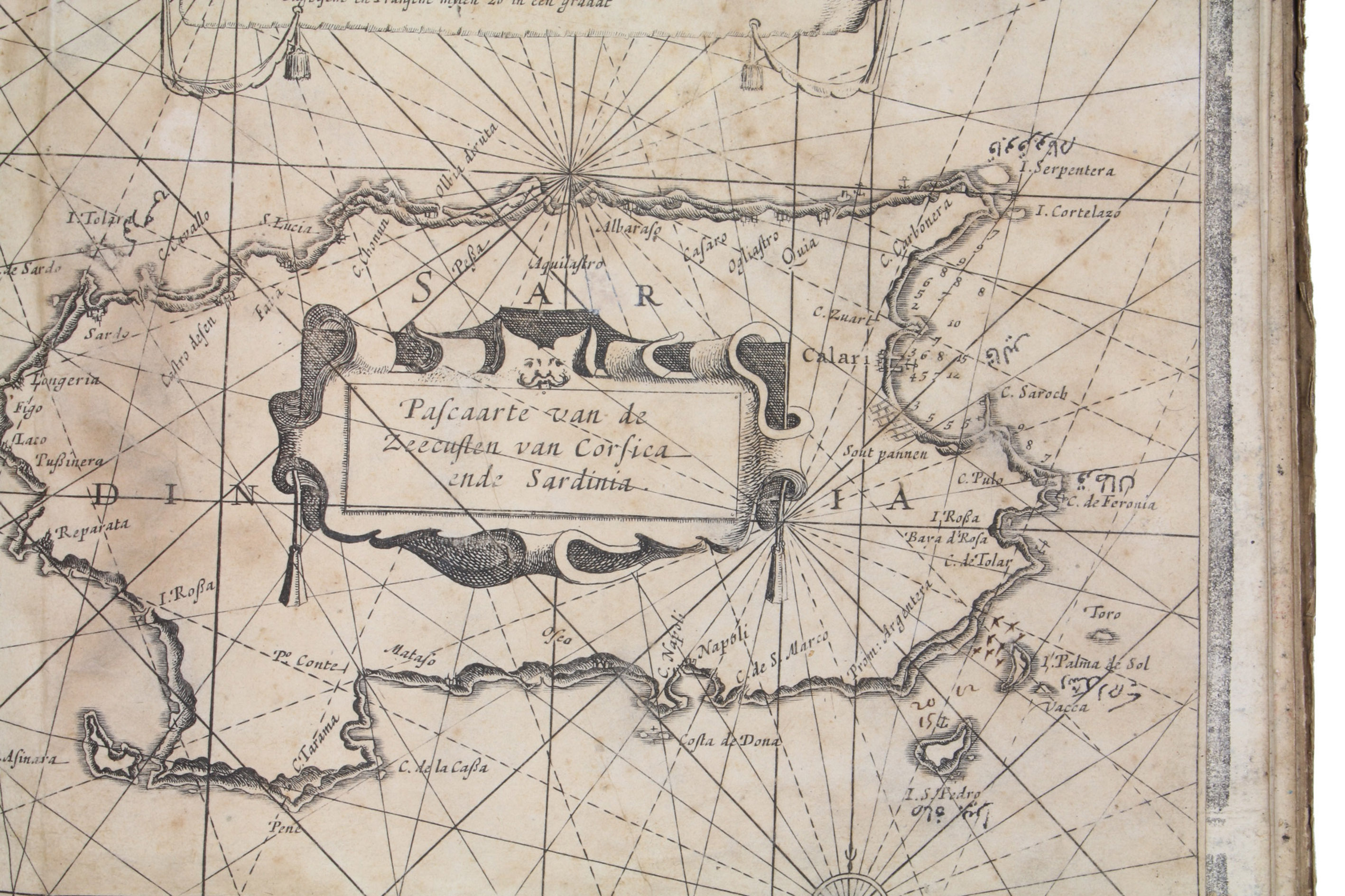
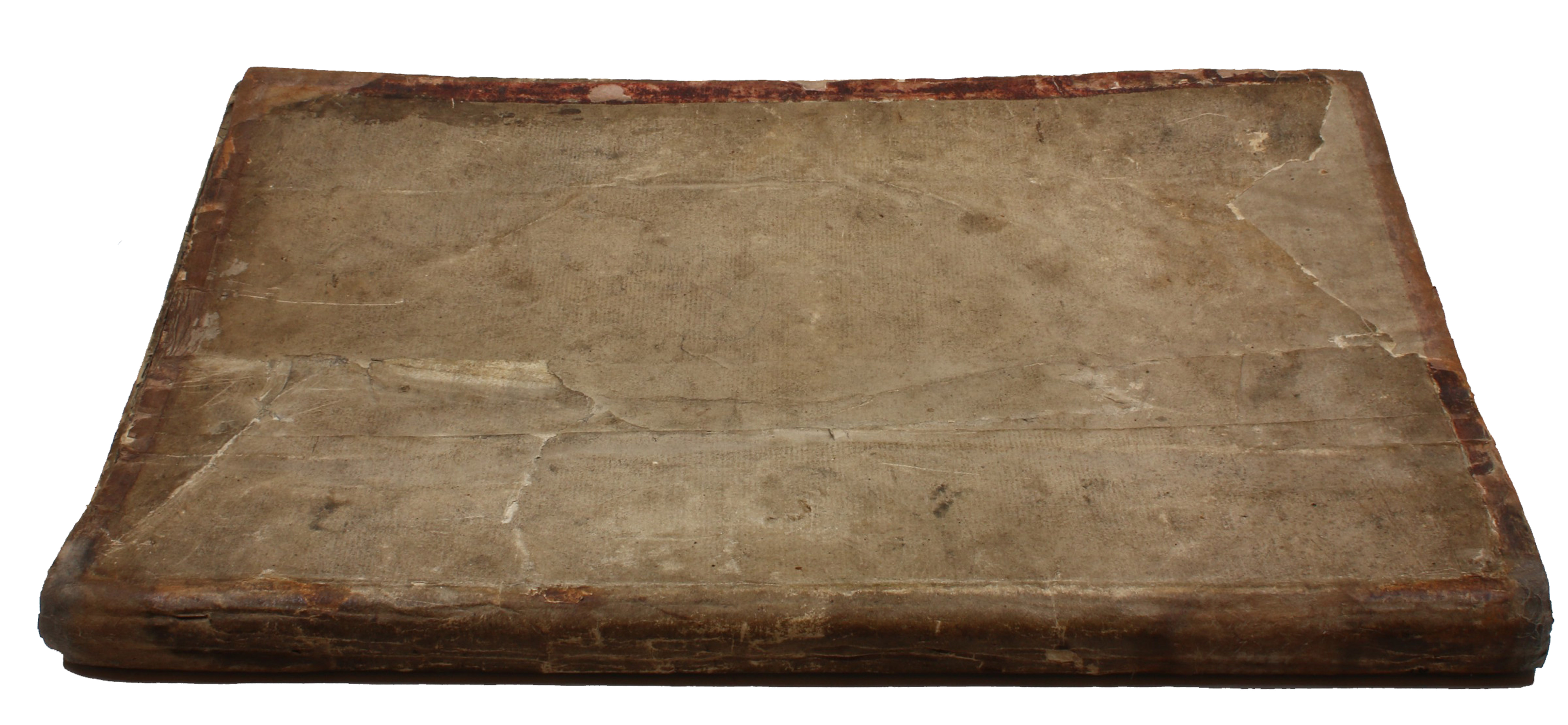
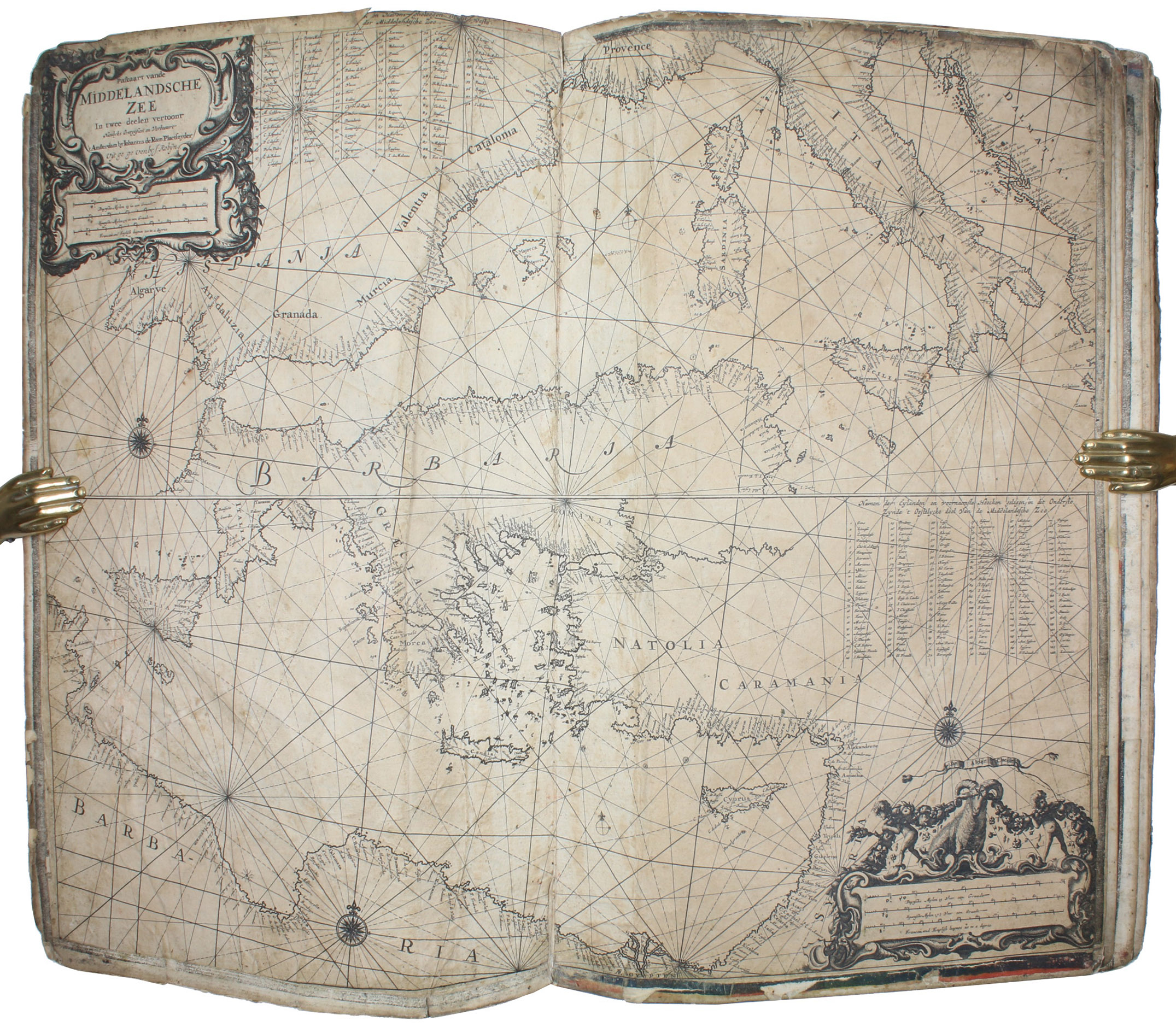
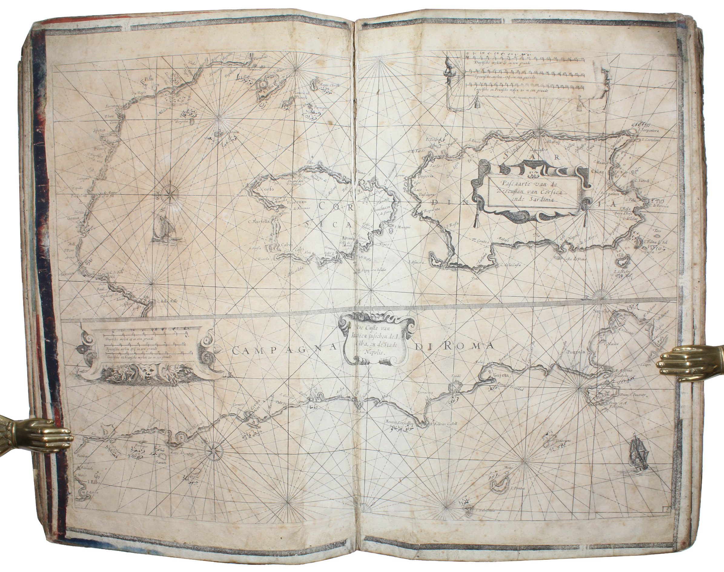
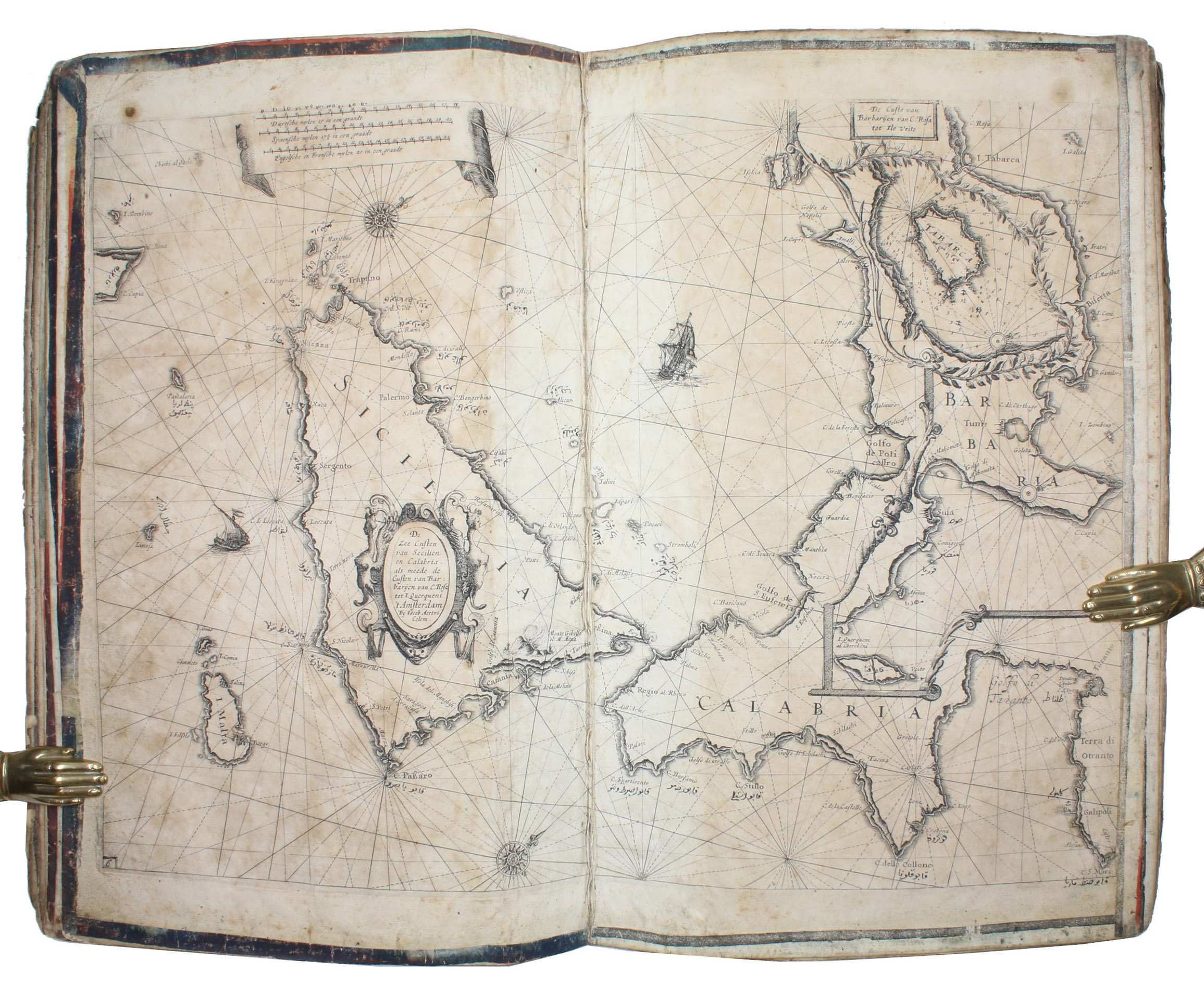
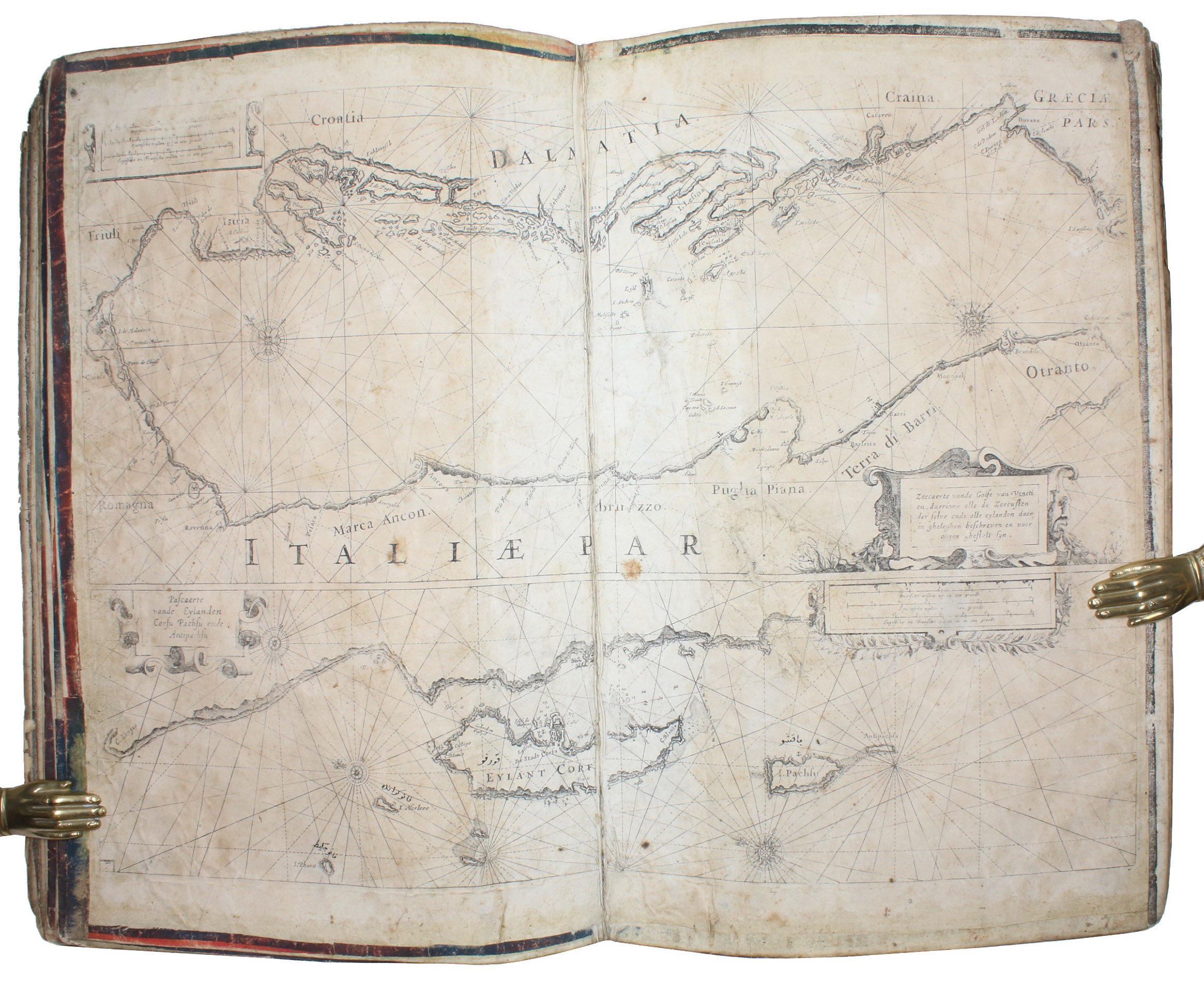
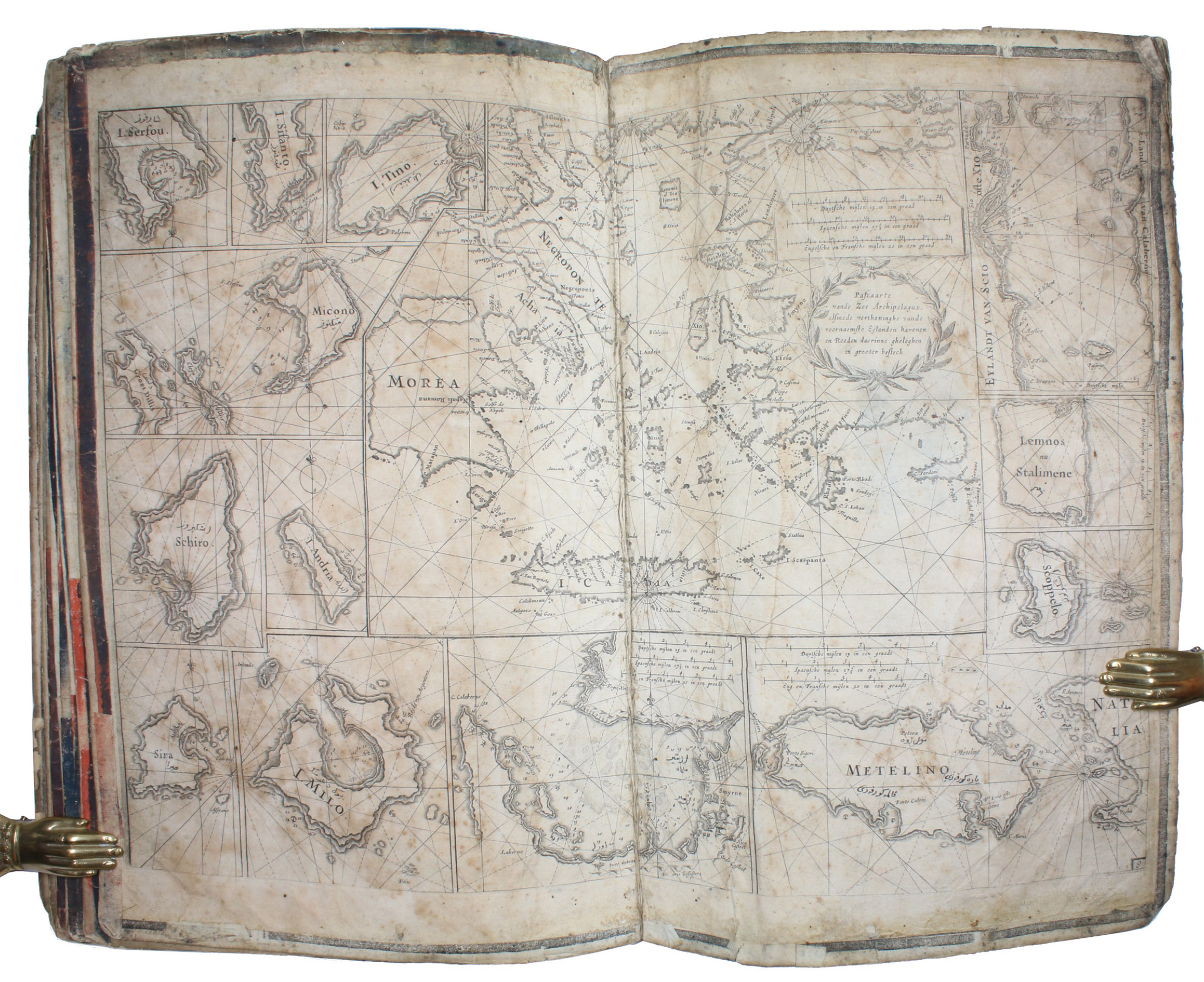
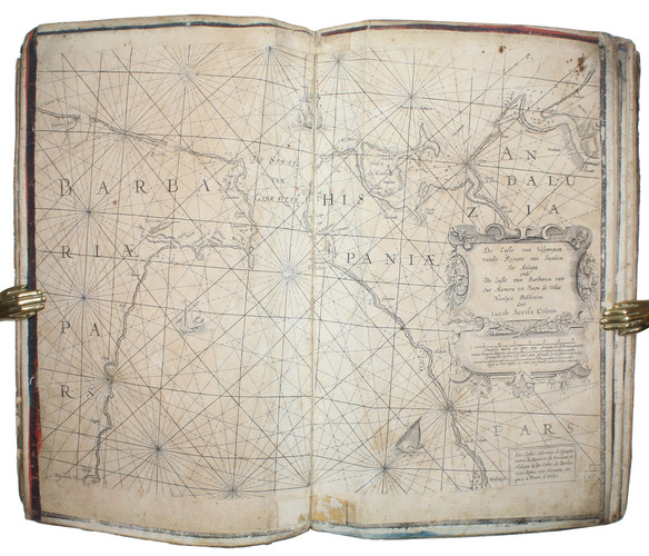
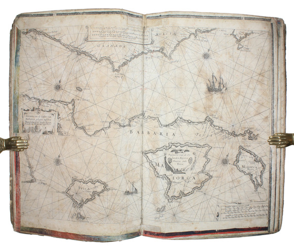
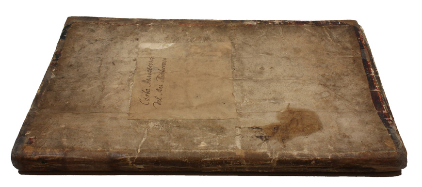
[Amsterdam, ca. 1670]. Folio (29 x 45 cm). With 9 double-page engraved charts only, each sheet ca. 44 × 55 cm, each mounted on stiff paper with maps back-to-back, with thick red and black ink borderlines. 8 of 9 maps are by Colom, numbered 2-9 in the plates from; plate 1 has been replaced with Johannes de Rams map of the Mediterranean: "Paskaart vande Middelandsche Zee In twee deelen vertoont". Contemporary stiff paper wrappers, with a manuscript label pasted upside down on the back wrapper, reading: "Carta Marinaresca del Mar Mediterraneo".
€ 25,000
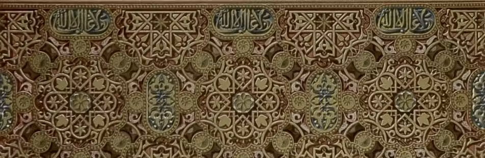
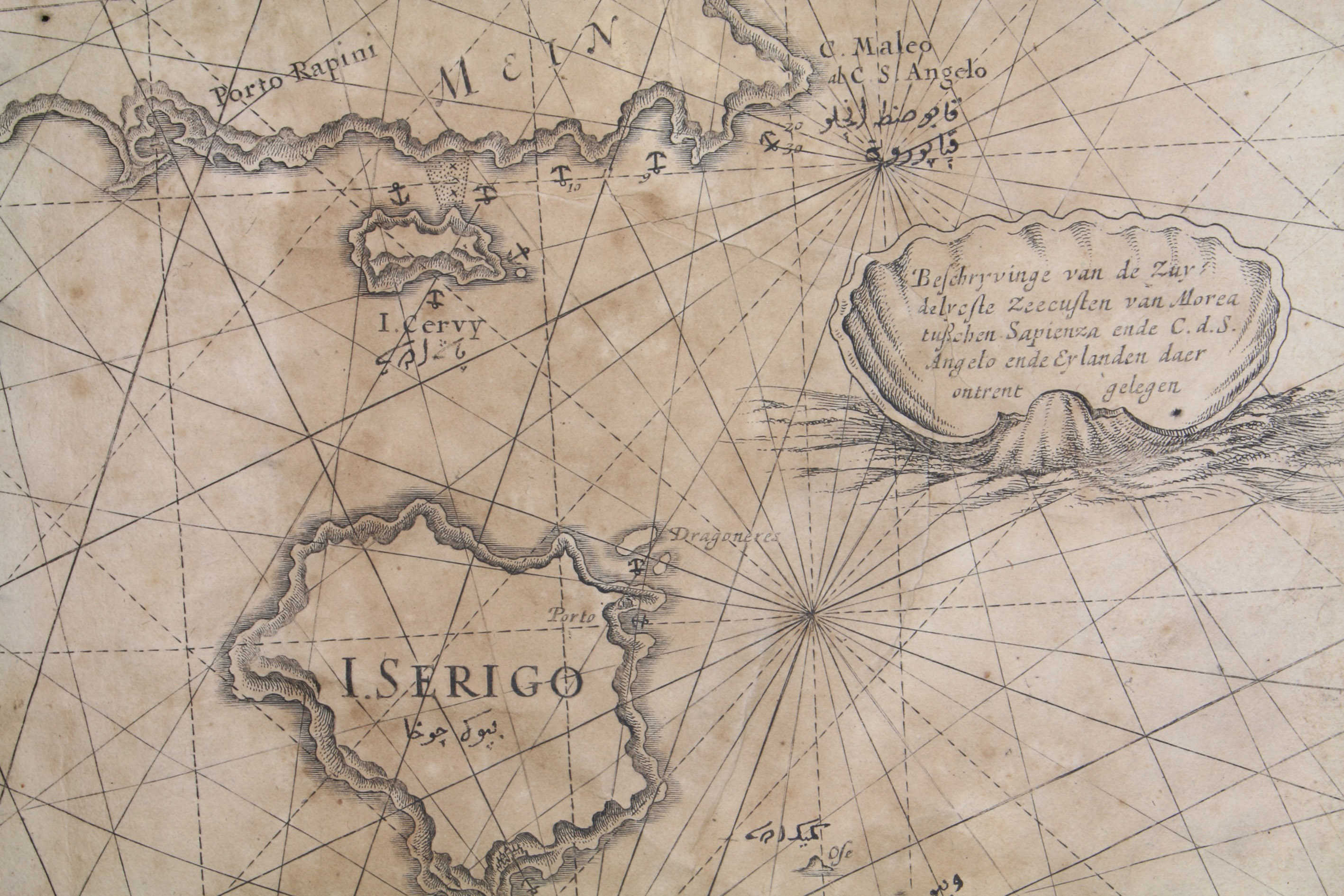
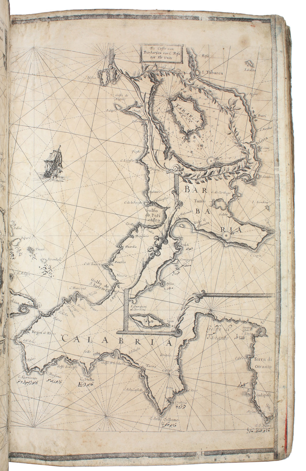
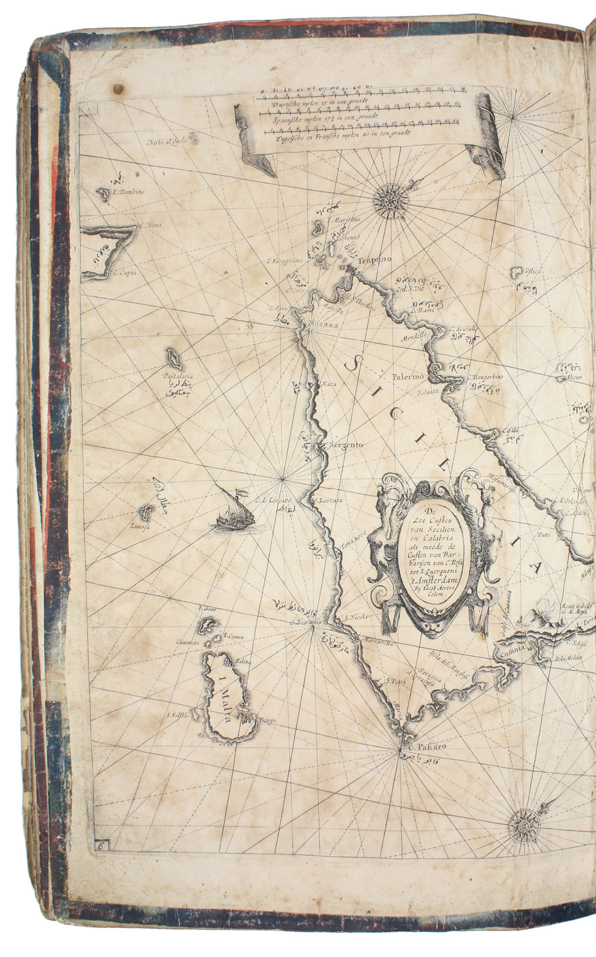
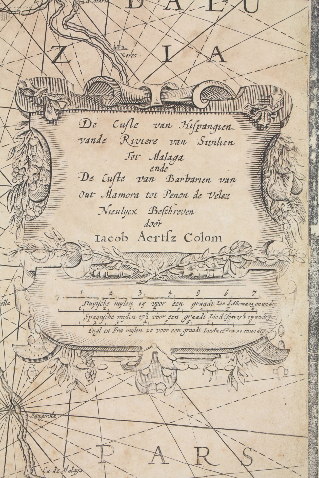
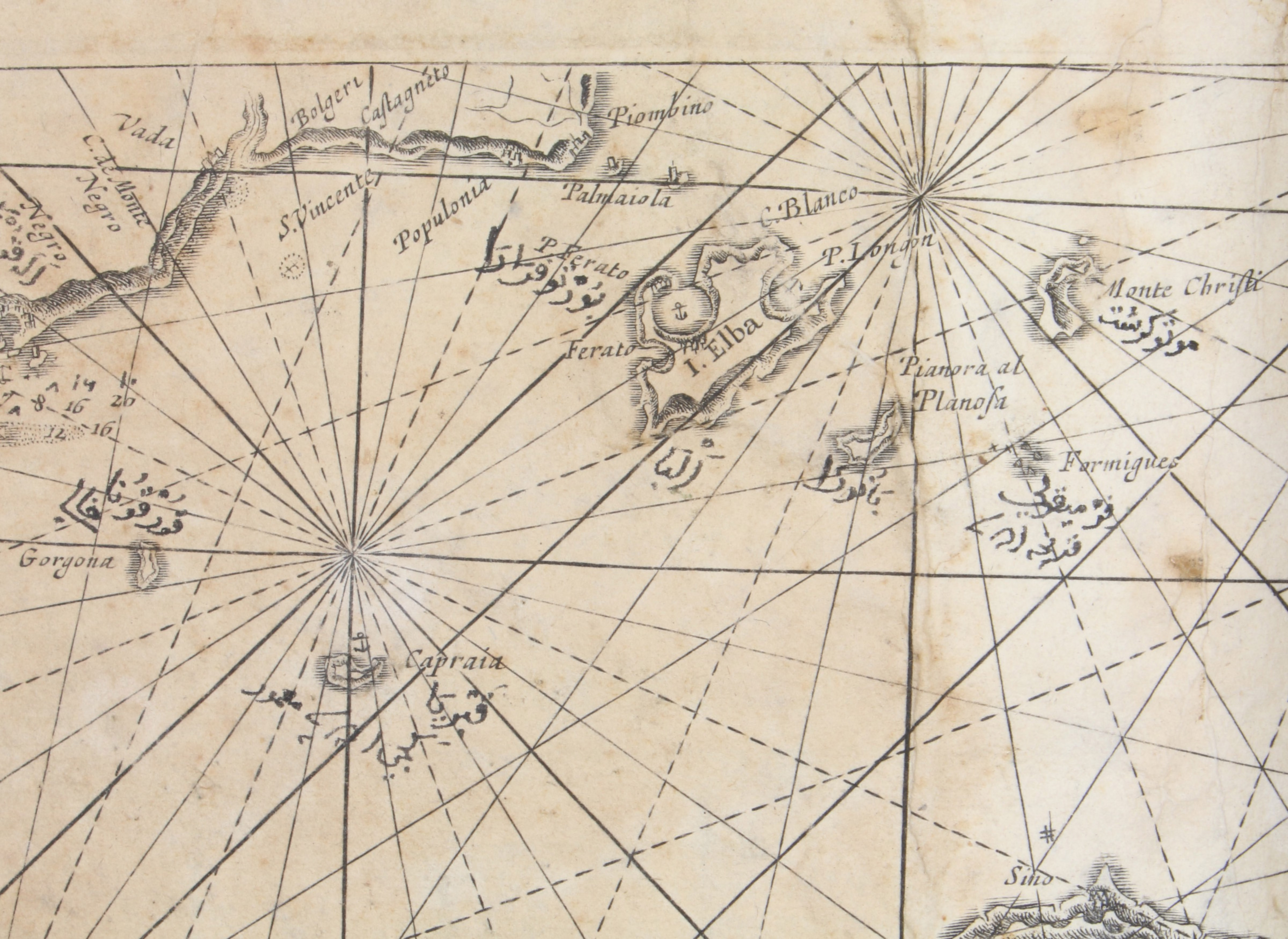
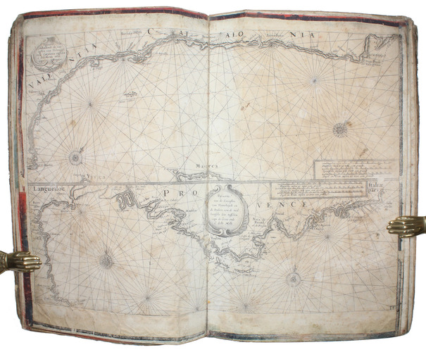
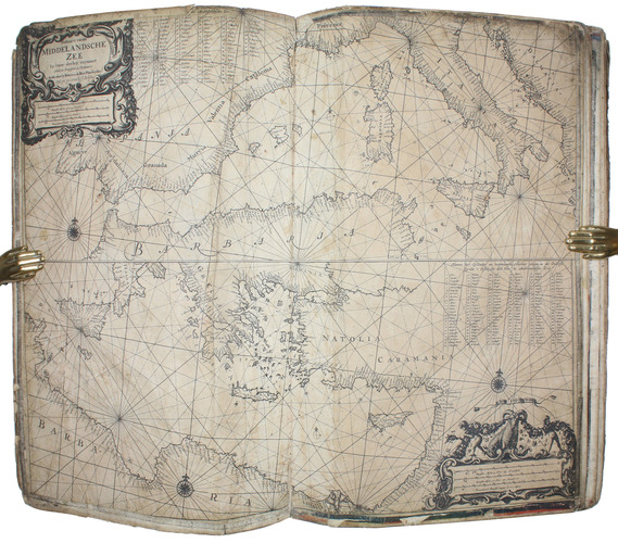
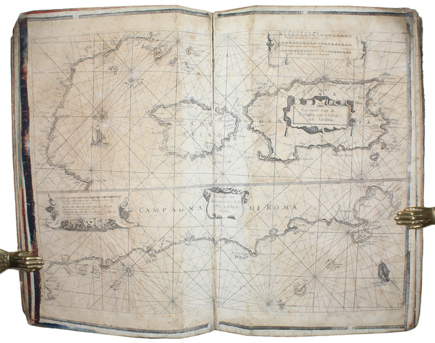
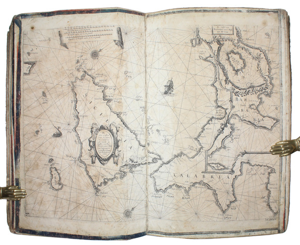
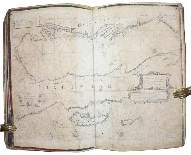
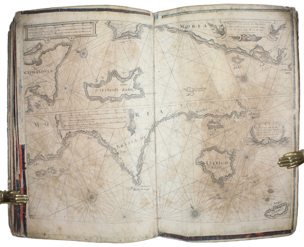
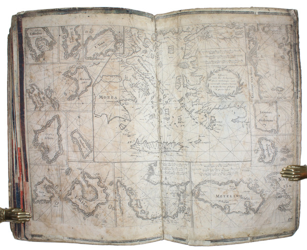
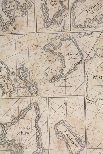
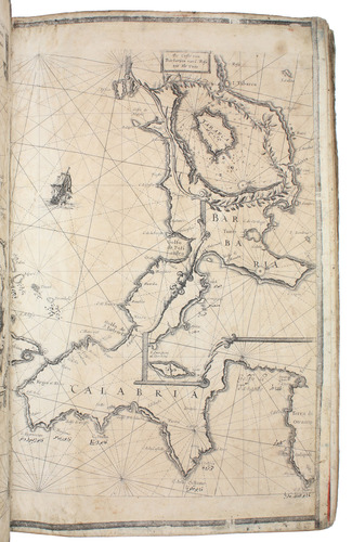
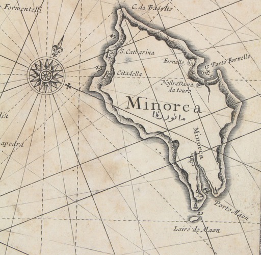
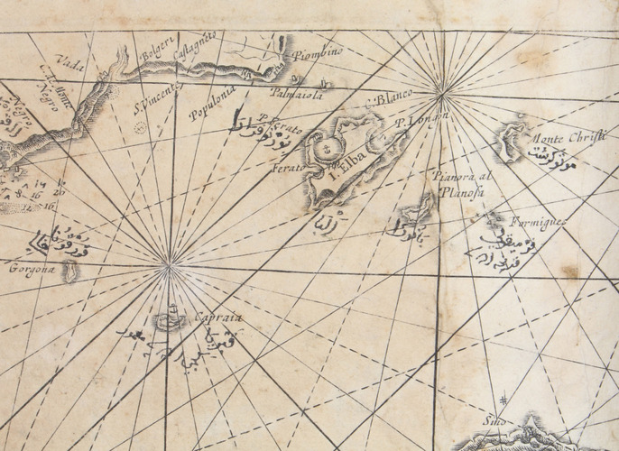
Unusual working copy of Coloms rare pilot, owned by an Ottoman Turkish mariner with his Osmanli inscriptions transliterating the location names throughout. Coloms charts cover the Straits of Gibraltar, the Barbary Coast, Mallorca, the coastline around Barcelona, Nice, Corsica, Sardinia, Southern Italy, Sicily, and Croatia. Koeman highlights the rarity of all of Coloms pilot books and notes that despite "thousands of copies [having been] circulated [...], only a score have survived".
The wrappers are worn and with significant spotting and browning throughout, some cockling and losses to sheets, old repaired tears, creases and signs of heavy use. A highly uncommon survival. Cf. Koeman IV, 120; Phillips III, 53 ff.
Related Subjects: