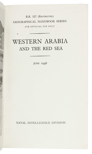
NAVAL INTELLIGENCE DIVISION, [SCOTT, Hugh, a.o.].
Western Arabia and the Red Sea, B.R. 527 (restricted) geographical handbook series for official use only.
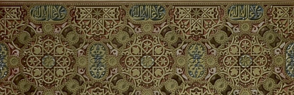
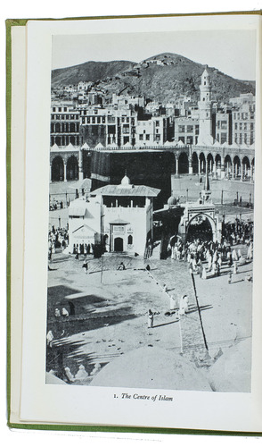
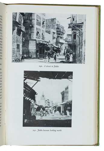
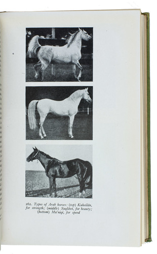
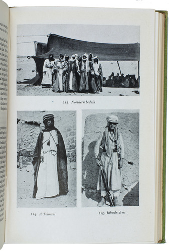
(Colophon: Oxford, University press), Naval Intelligence division, 1946. 8vo. With 357 reproductions of photographs on 90 plates, numerous (folding) maps and illustrations in text and 1 separate folding map. Original publisher's green cloth. XIX, [1 blank], 659, [1 blank] pp.
€ 600
First and only edition of a geographical handbook to the Arabian Peninsula and the Red Sea, published on behalf of the Naval Intelligence Division (NID) of the British Admiralty. "The text is aimed at arming British Naval officers with everything they need to know of the ways and worlds of western Arabia. They can learn the different types of myrrh; the nature and position of the port of Qunfidha in south-western Arabia; that both whooping-cough and chicken-pox 'are very common'; and that the telephone service in Saudi Arabia is 'rudimentary'" (Canton). At the end are some appendices, one containing a list of the Umayyad and Abbasid caliphs. Appendix D deals with plants of economic importance in the Arabian Peninsula, enlisting (fruit and nut)trees, medicinal plants, vegetables, spices and others, with a short comment on their usage.
With some library and deacession marks. A few of the folding plates slightly frayed at the margin. Green cloth binding discoloured at the spine and head. Overall in very good condition. J. Canton, From Cairo to Baghdad: British travellers in Arabia, pp. 177-179.
Related Subjects: