LAPLACE, Cyrille Pierre Théodore.
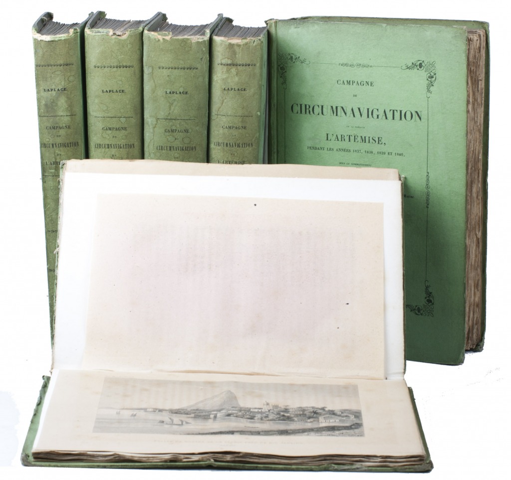
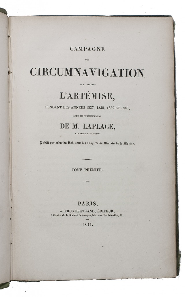
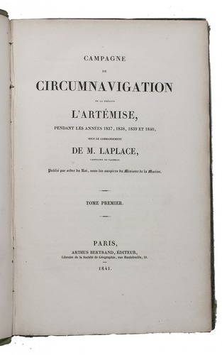
Campagne de circumnavigation de la frégate l'Artémise, pendant les annéees 1837, 1838, 1839 et 1840, ... Tome premier[-sixième].
Paris, Arthus Bertrand, 1841-1854. 6 volumes. 8vo. With 2 large folding engraved maps and 31 steel-engraved views. With the maps coloured in outline or partly coloured, and with the routes indicated and coloured. Contemporary boards, covered with the publisher's original green printed paper. XXXIX, [1 blank], 343, [1 blank], [3], [1 blank]; [3], [1 blank], 467, [1 blank], [3], [1 blank]; [3], [1 blank], 548, [1], [1 blank]; [3], [1 blank], 464, [3], [1 blank]; [3], [1 blank], III, [1 blank], 542, [2]; [3], [1 blank], 400 pp.
€ 22,500
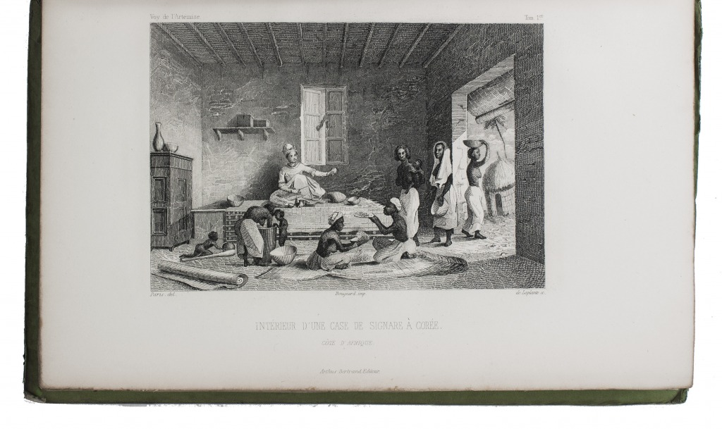
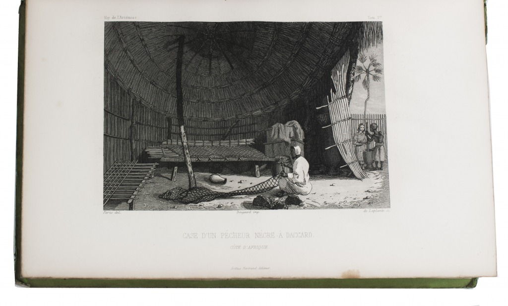
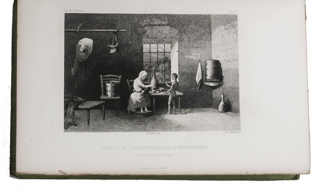
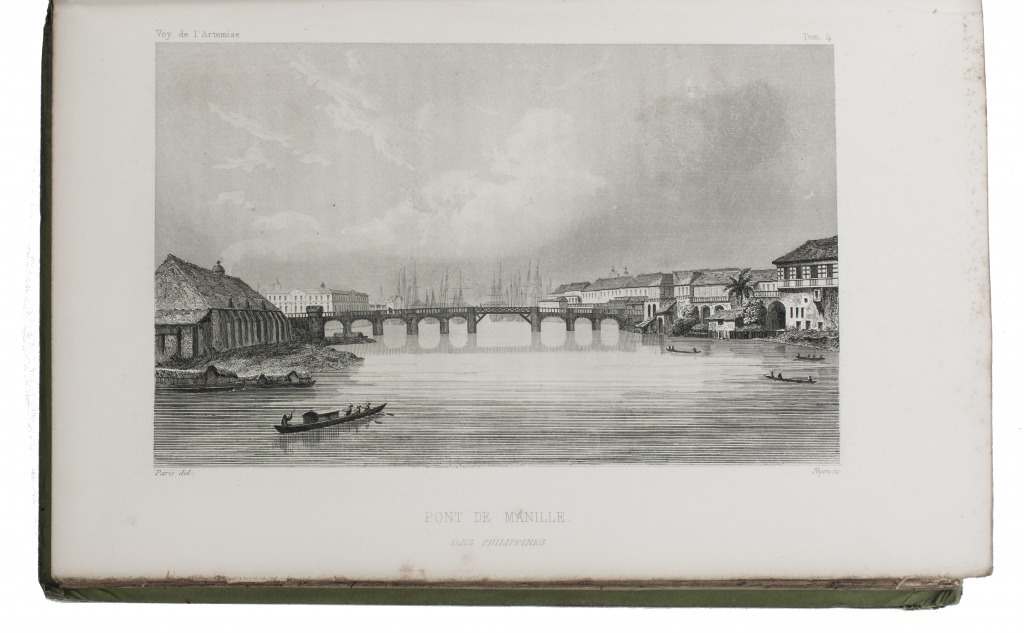
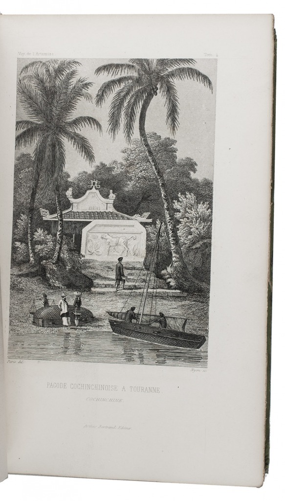
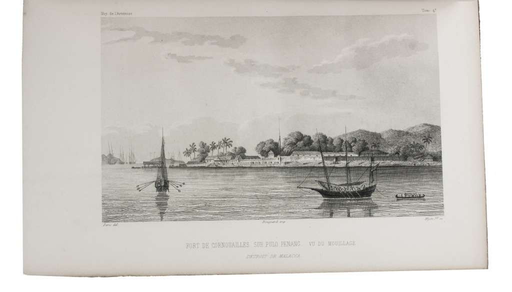
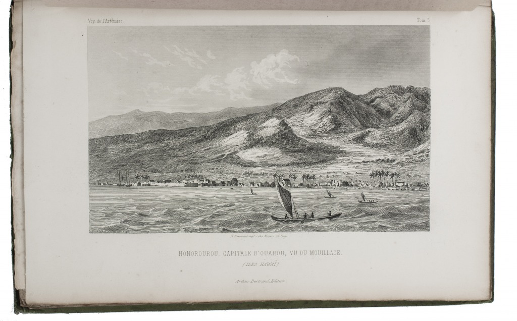
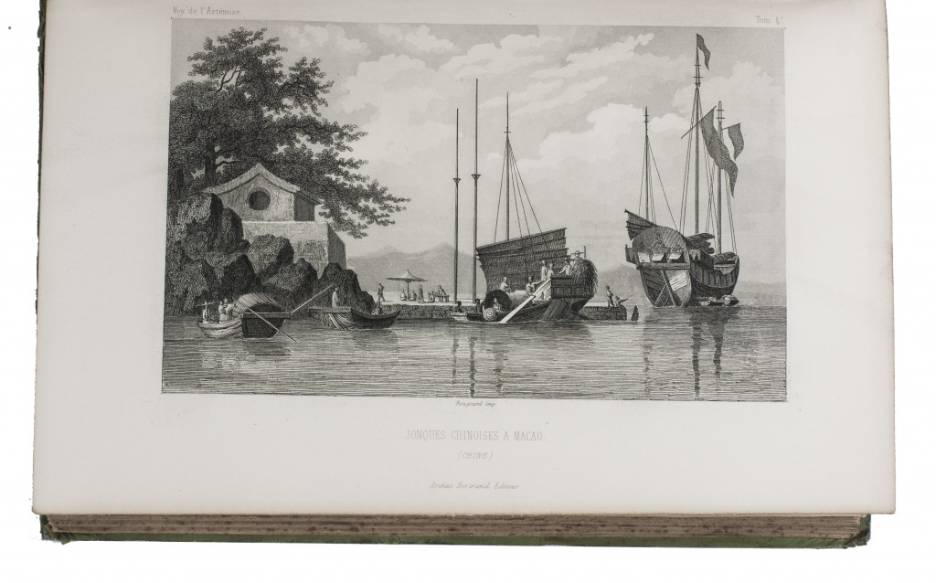
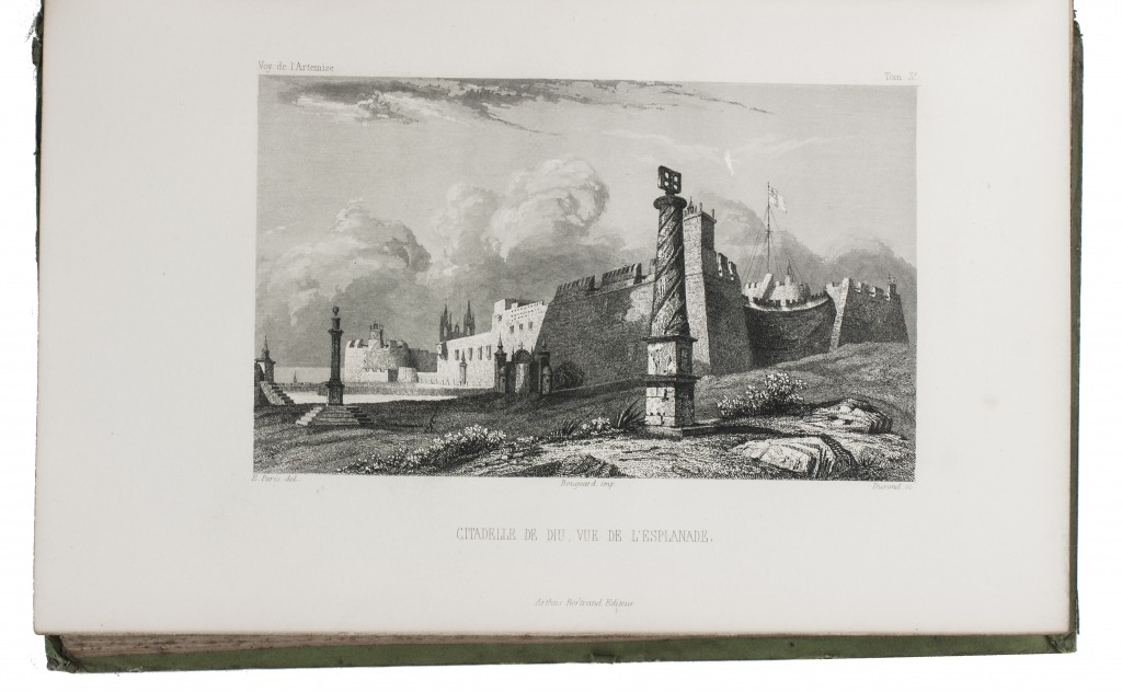
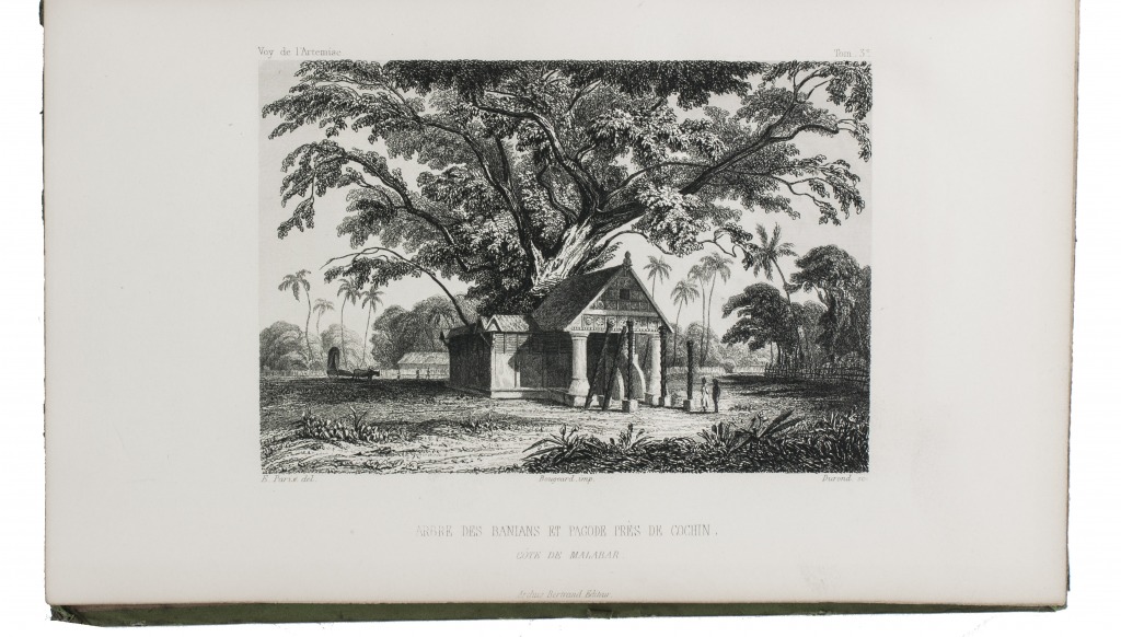
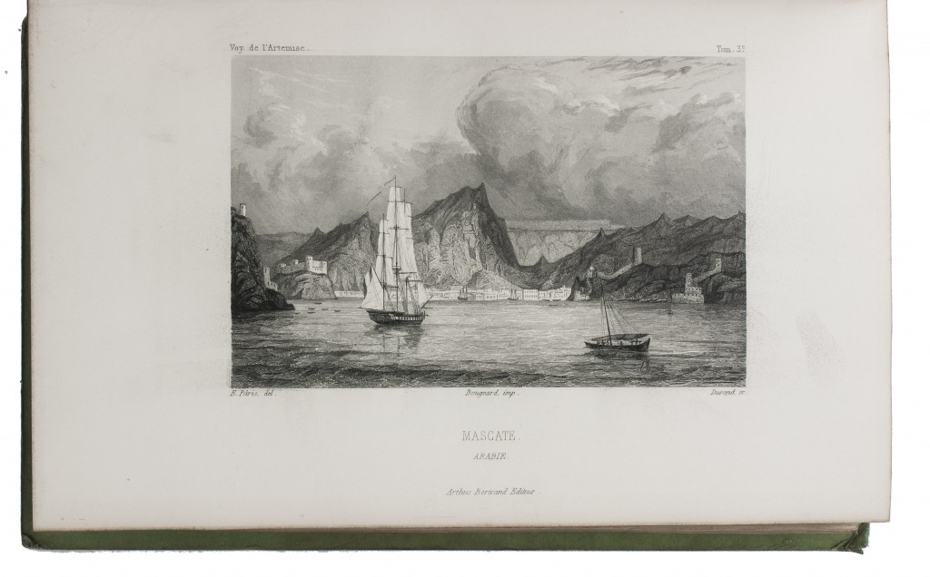
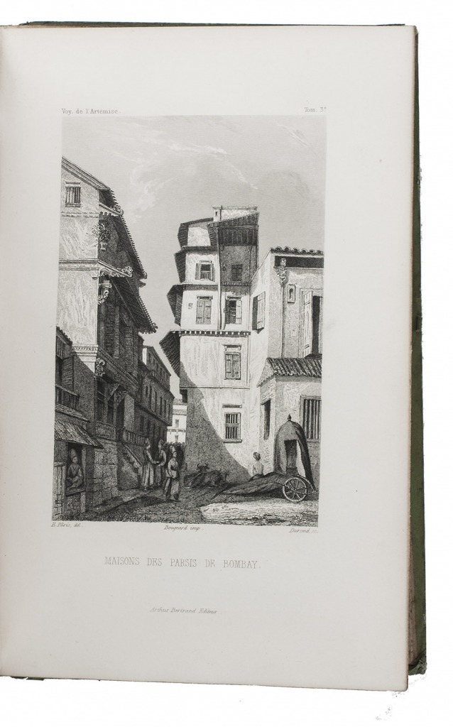
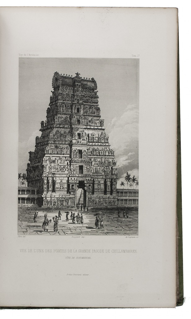
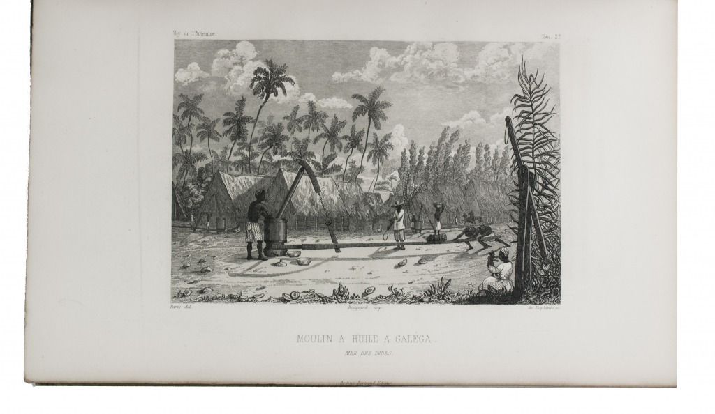
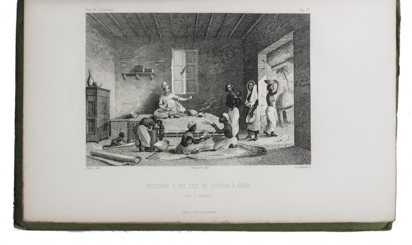
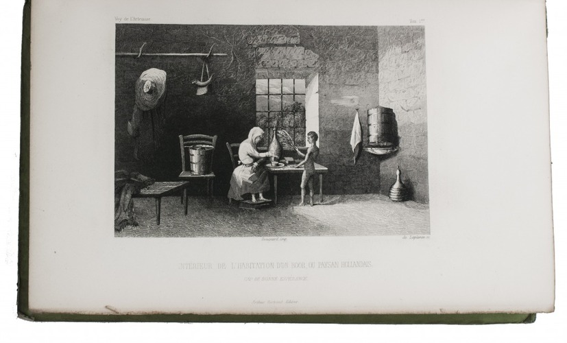
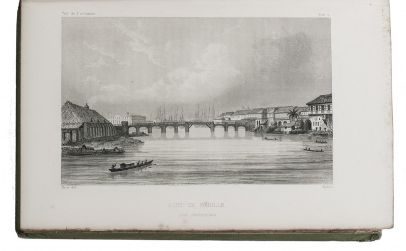
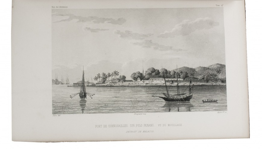
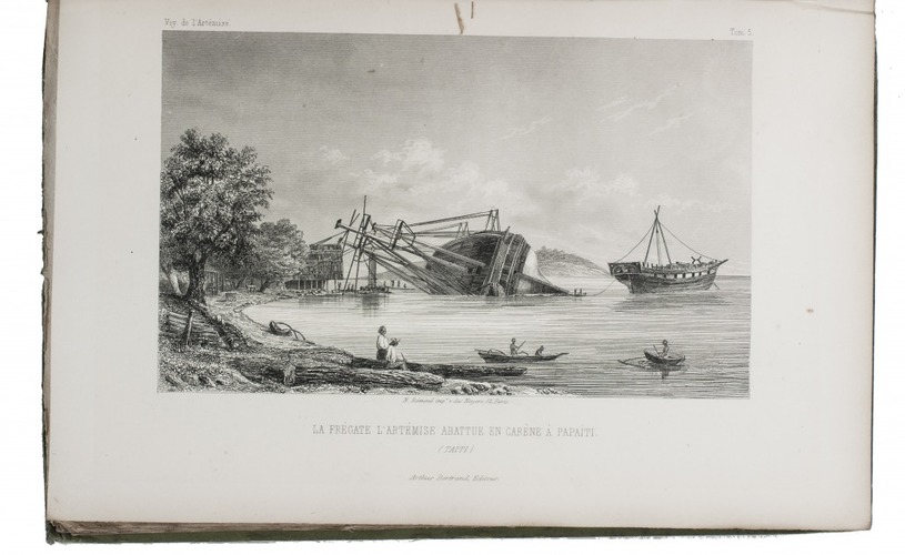
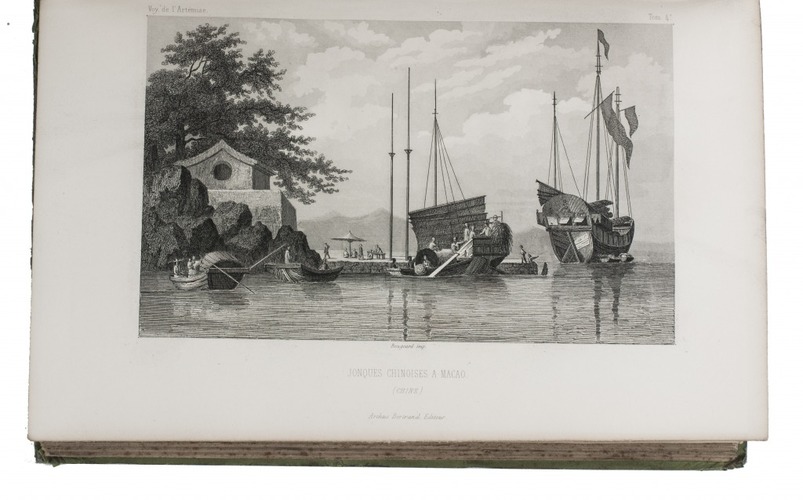
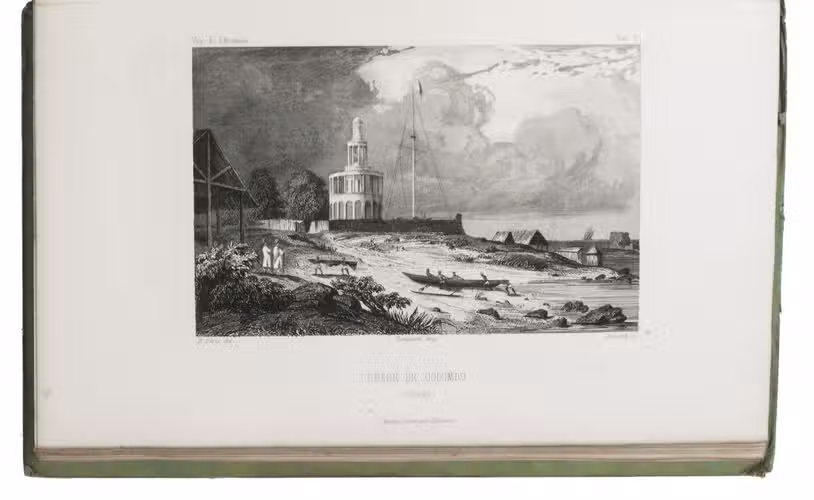
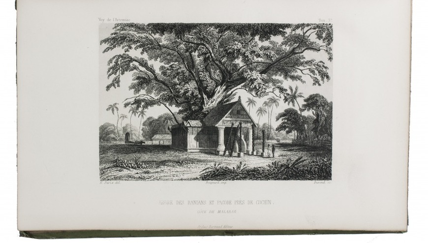
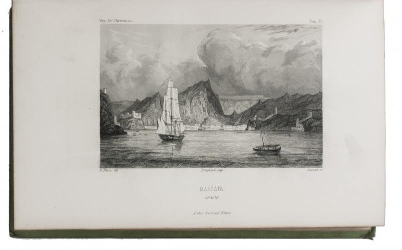
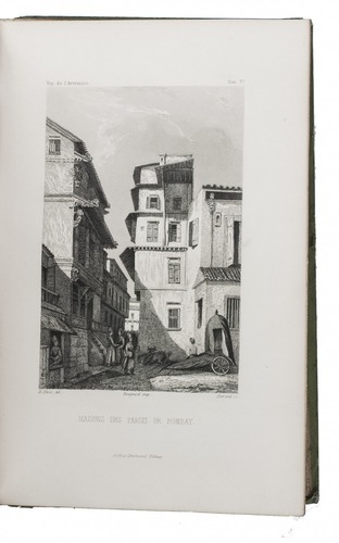
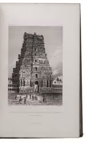
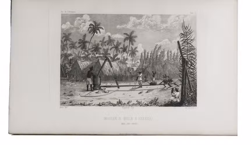
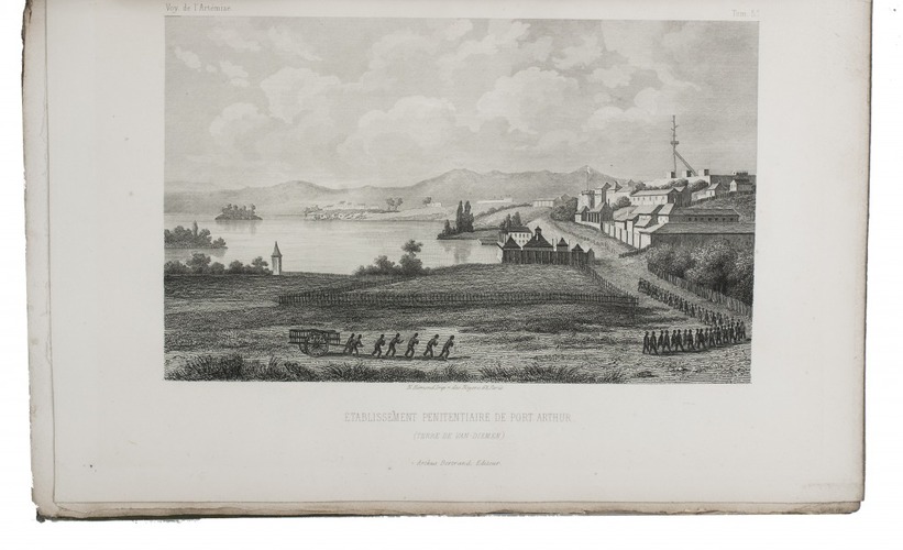
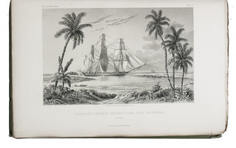
First and only complete edition, containing about 2800 pages of official reports of one of the most important 19th-century circumnavigations of the globe, especially valuable for its information on Tahiti and Hawaii, and for its detailed view of the political manoeuvrings of the various colonial powers with each other and with the indigenous populations, both in the Pacific and elsewhere. The 31 stunning steel-engravings ("fine quality": Forbes) enrich the account greatly. Besides the well-known Pacific views (Hawaii, Tahiti, Tasmania, the Philippines, Vietnam) they include mosques at Karikal and Kolkotta in India and views of Oman, Mocha, Brazil, Peru, California and much more. Laplace also provides valuable information about trade on the coasts of the Arabian peninsula (including Muscat, al-Muka and Bandar-Abbas) and Iran. This was Laplace's second circumnavigation of the globe, sailing in the ship l'Artémise, beginning in 1837, five years after he returned from his voyage in La Favorite. The world map shows the routes of both voyages (the second map shows the Indian subcontinent and surroundings in more detail).
With 19th-century (Danish?) Royal stamps. With the 4 plates in vol. VI browned and the text leaves in vol. IV somewhat foxed (plus an occasional quire in vol. V and the beginning of vol. VI), but otherwise in very good condition, only slightly trimmed at the foot and fore-edge and with nearly all bolts unopened, preserving many deckles. A very detailed account of one of the most important circumnavigations of the globe, with 31 stunning steel engravings. Dunmore II, pp. 317-340; Forbes 1298; Hill 981; Howgego L13; Sabin 38983.
Related Subjects: