ROSSER, William Henry.
Short notes on the winds, weather, & currents, together with general sailing directions and remarks on making passages; to accompany a chart of the Indian Ocean.
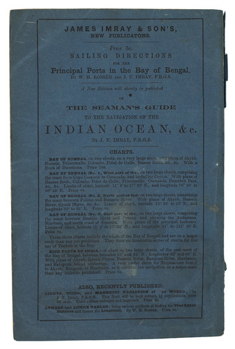
London, James Imray & son, 1878. 8vo. With 2 folding maps. Original publishers blue wrappers. [4], 71 pp.
€ 1,800
Extremely rare edition, probably the fourth, of a handbook for sailing in the Indian Ocean. As the title indicates, it not only contains sailing directions and descriptions of different routes to Singapore and the Arabian Sea, but also gives important notes for sailors concerning the winds, weather and the most important currents when crossing the Indian Ocean.
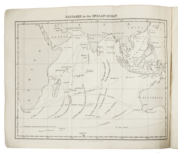
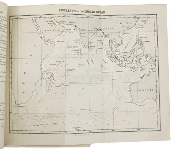
Rosser apparently meant this work as a kind of epitome with the most important information on the winds, weather and currents in the Indian Ocean, because in his preface, he refers to his earlier, more extensive work, The Indian Ocean directory (1867). While the present work has two maps, his more extensive work contains many more charts and plans.The two charts indicate sailing routes and currents in the Indian Ocean, with the coasts of Africa, Arabia, South and Southeast Asia and Australia. They show, for example, the Persian/Arabian Gulf, the Gulf of Aden, Ceylon, the Bay of Bengal and the Gulf of Siam.
With James Imray & sons printed catalogue on the back board, listing nautical charts and related books. Slightly frayed, some stains on the paper boards, but still in good condition. WorldCat (1 copy); cf. Forbes 2812 (1868 ed., also noting 1866, 1871, 1874 & 1880 eds.); Sabin 73416 (1868 ed.).
Related Subjects: