
Trade within Ethiopia
[HOUSE OF PARLIAMENT - ETHIOPIA].
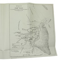
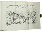
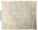
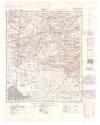
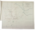
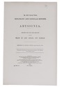
No. 2531 annual series. Diplomatic and consular reports. Abyssinia. Reports for the year 1899-1900 on the trade of Adis Abbaba and Harrar.
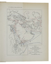
London, Harrison and sons, 1900. Folio. With a folding lithographed map with some coloured details. Bound as sewn. 25, [1] pp. Full description
€ 1,250
London, Harrison and sons, 1900. Folio. With a folding lithographed map with some coloured details. Bound as sewn. 25, [1] pp. Full description