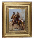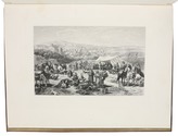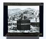

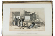
Stunning double-tinted views of the Middle East, after drawings made in 1838 and 1839,
with 250 plates
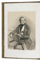
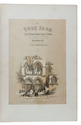
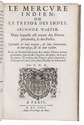
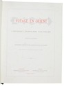
ROBERTS, David, George CROLY and William BROCKEDON.
The Holy Land, Syria, Idumea, Arabia, Egypt & Nubia.
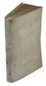
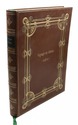
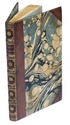
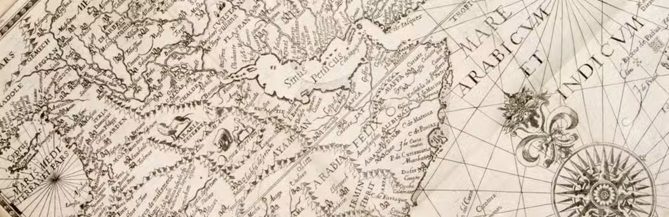
London, Day & son (vol. 3: New York, D. Appleton & Co.), 1855-1856. 6 volumes bound as 3. Imperial 8vo (30 x 22 cm). With 250 numbered plates (including 6 tinted lithographed title-pages, 2 stone-engraved maps and 239 tinted and double-tinted lithographed and 2 chromolithographed views). Contemporary, richly gold-tooled reddish-brown morocco, gold-tooled turn-ins, marbled endpapers, gilt and gauffered edges. With thin paper guard leaves facing each plate. Full description
€ 18,000
London, Day & son (vol. 3: New York, D. Appleton & Co.), 1855-1856. 6 volumes bound as 3. Imperial 8vo (30 x 22 cm). With 250 numbered plates (including 6 tinted lithographed title-pages, 2 stone-engraved maps and 239 tinted and double-tinted lithographed and 2 chromolithographed views). Contemporary, richly gold-tooled reddish-brown morocco, gold-tooled turn-ins, marbled endpapers, gilt and gauffered edges. With thin paper guard leaves facing each plate. Full description