
Exploration of Iran's major river
LYNCH, Henry Blosse.
Notes on the present state of the Karun river, between Shushter and the Shat-el-Arab.
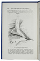
[London, Wiley, October 1891]. 4to. With a lithograph illustration in the text. Modern blue wrappers. 592-595 pp. Full description
€ 395
[London, Wiley, October 1891]. 4to. With a lithograph illustration in the text. Modern blue wrappers. 592-595 pp. Full description