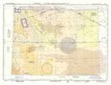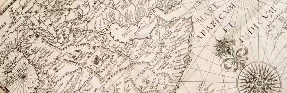

The Arabian oil fields and pipelines in the late 1930s
[MAP - MIDDLE EAST]. Geographical Publishing Company.
Arabia and near bordering countries.
Including:
- Palestine
- Iran (Persia) and surrounding territory
Chicago, Geographical publishing company, [ca. 1936-1941]. Colour printed map, 54 x 40 cm. Full description
€ 1,500
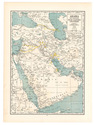
Including:
- Palestine
- Iran (Persia) and surrounding territory
Chicago, Geographical publishing company, [ca. 1936-1941]. Colour printed map, 54 x 40 cm. Full description