
Imaginary voyage criticising imposed religion, together with an eye-witness account of slavery in Africa
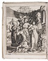
[VAIRASSE D'ALLAIS, Denis and Thomas SMITH].
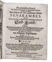
Geographisches Kleinod, aus zweyen sehr ungemeinen Edelgesteinen bestehend; darunter der Erster eine Historie der New-gefundenen Völcker Sevarambes genannt, ... Der Ander aber vorstellet die seltzamen begebenheiten herren T.S. eines englischen Kauff-Herrens...
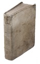
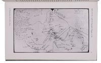
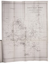
[Sultzbach], printed by Abraham Lichtenthaler, 1689. 4to. With engraved frontispiece, 16 engraved plates and some woodcut initials. Contemporary vellum. [2], 362 [=360]; 100 pp. Full description
€ 8,500
[Sultzbach], printed by Abraham Lichtenthaler, 1689. 4to. With engraved frontispiece, 16 engraved plates and some woodcut initials. Contemporary vellum. [2], 362 [=360]; 100 pp. Full description
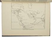

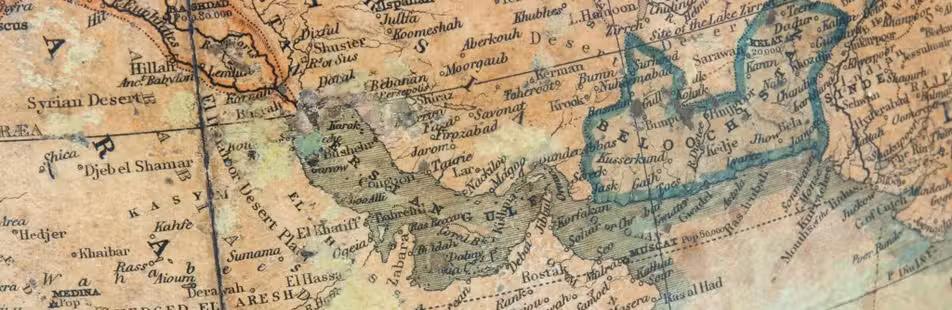
 and of permanent scholarly value" (Toomer)" title="Pococke's celebrated edition of Abu'l-Faraj's Islamic history: "It is his greatest work,