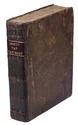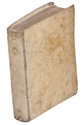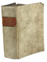

Unique copy in a sumptous Viennese binding
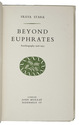
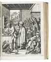
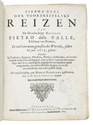
RUDOLF, Archduke of Austria and Hungary.
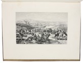
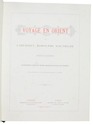
Voyage en Orient. Traduit de lAllemand. Illustrations daprès les dessins originaux de Franz von Pausinger.
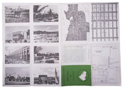
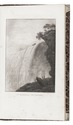
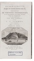
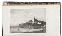
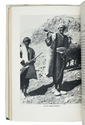
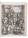
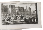
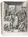
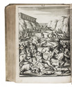
Vienna, Imprimerie Imperiale et Royale de la Cour et de lÉtat, 1885. Folio. With 37 etched plates.Contemporary calf, richly gold-tooled front board, spine label, gilt edges. [8], 168, [2] pp. Full description
€ 9,500
Vienna, Imprimerie Imperiale et Royale de la Cour et de lÉtat, 1885. Folio. With 37 etched plates.Contemporary calf, richly gold-tooled front board, spine label, gilt edges. [8], 168, [2] pp. Full description