Categories
Shopping cart (0 items € 0)
Advanced search

Middle East & Islamic World / Cartography & Exploration

14th-century tales of travels in Turkey, the Middle East, Near East, India and the East Indies,
illustrated with about 60 woodblocks

MANDEVILLE, John [= Jehan d'OUTREMEUSE]. The voyages & travels of Sir John Mandevile, Knight, ... to the Holy Land, and to Hierusalem: as also to the lands of the Great Caan, and of Prestor John: to Inde, and divers other countries: ...
London, Richard Chiswell, Benjamin Walford, Matthew Wotton, George Conyers, 1696. 4to. With a woodcut ship on the title-page and about 60 woodcut illustrations in the text (mostly about 5.5 x 8 cm) plus about 10 repeats. Gold-tooled, red goatskin morocco by Robert Riviere in London (ca. 1875/80), one of England's best binders. [4], “139” [= 135], [5] pp. Full description
€ 22,500
Order Inquire Terms of sale

USAF pilot's map of the Arabian Gulf

[MAP - ARABIAN GULF]. Aeronautical chart and information center. Persian Gulf | ONC-H-6/7. Operational navigation chart.
St Louis, Aeronautical chart and information center, United States Air Force, 1967. Two maps colour printed on both sides of a sheet of silk (103 x 78.5 cm) on a scale of ca. 1:1,000,000. The two maps (ONC-H-6 & ONC-H-7) show one continuous area. Full description
€ 1,500
Order Inquire Terms of sale

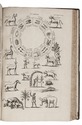
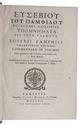
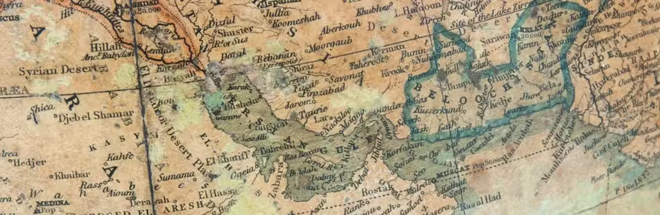
The first Roman geography of the world, including the Arabian peninsula and the Gulf,
in the rare 1502 edition of its first accurate printed text
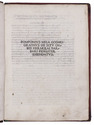
MELA, Pomponius. De situ orbis Hermolai Barbari fideliter emendatus.
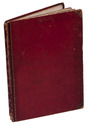
[Venice], (colophon: printed by Albertino da Vercelli, 14 May 1502). Small 4to (20.5 x 15.5 cm). With printed guide letters left for manuscript initials (not filled in). Gold-tooled red half sheepskin (ca. 1820?). XXIIII ll. Full description
€ 6,500
Order Inquire Terms of sale

Field guide for officers during the Mesopotamian campaign (1914-1918), with a folding map

[MESOPOTAMIA]. [Indian Army General Staff]. For official use only. Field notes. Mesopotamia. General staff, India. February 1917.Including: Index to field notes, Mesopotamia, 1917.
Calcutta, Superintended government printing, 1917. Small 8vo. With 1 folding heliozincographed map of "Lower Mesopotamia", with some routes in red, and three folding letterpress tables. Original green cloth. [3], [1], 326(=325), [1]; [1], [1 blank], XX pp. Full description
€ 6,500
Order Inquire Terms of sale

One of the first Western works about the Hadhramaut region

MEULEN, Daniël van der and Hermann von WISSMANN. Hadramaut, some of its mysteries unveiled.
Leiden, E. J. Brill, 1932. 8vo. With a folding map of the region as a frontispiece, a very large folding map (ca. 75 x 106 cm) in the back behind a blue cloth strip mounted on the inside of the back board, and numerous black-and-white photographic illustrations throughout. Original navy blue buckram. XXVI, 248 pp. Full description
€ 250
Order Inquire Terms of sale
103 books found / Show all